Plessenberg Breitenbach
Beautiful but physically demanding hike to the local mountain of Breitenbach
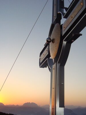
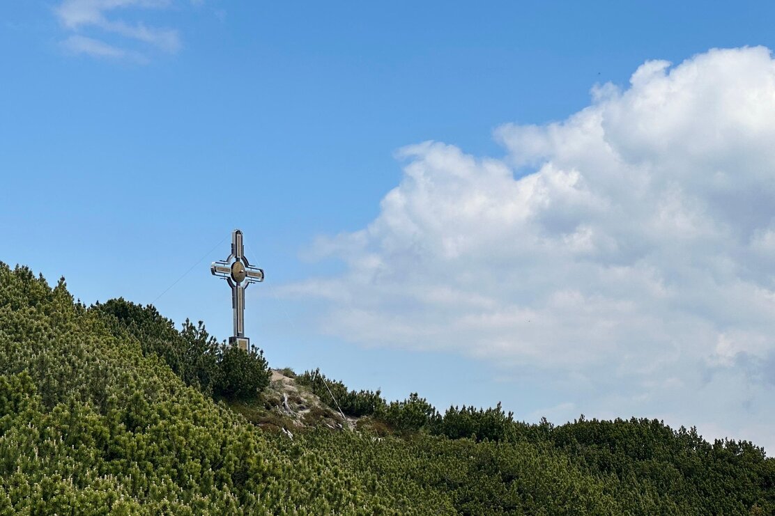
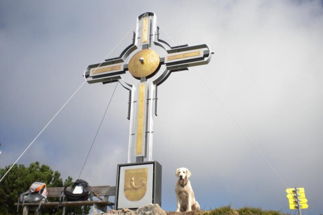
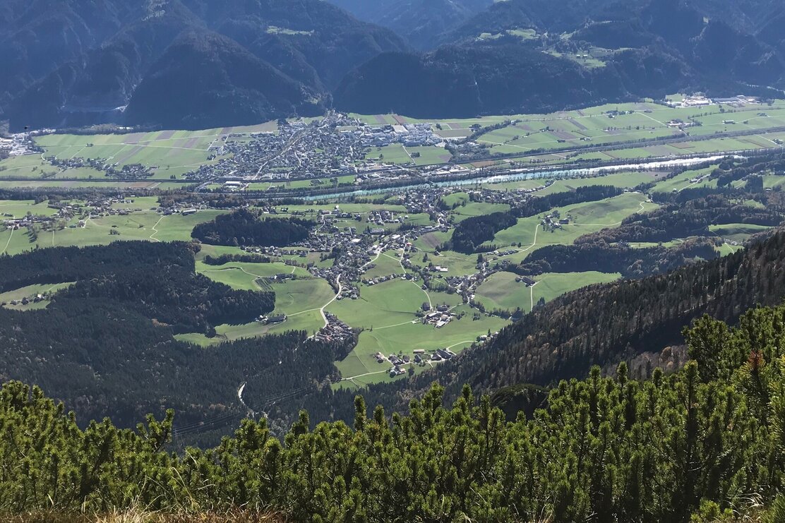
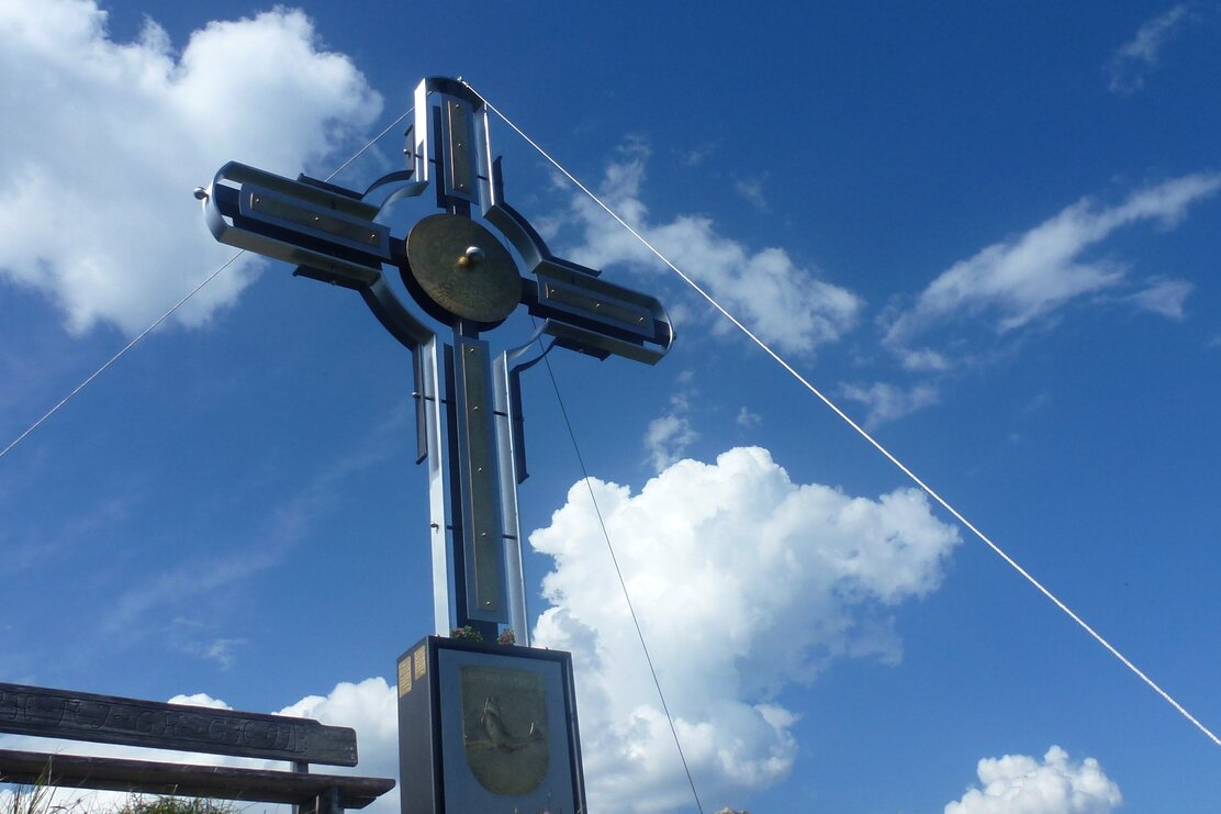
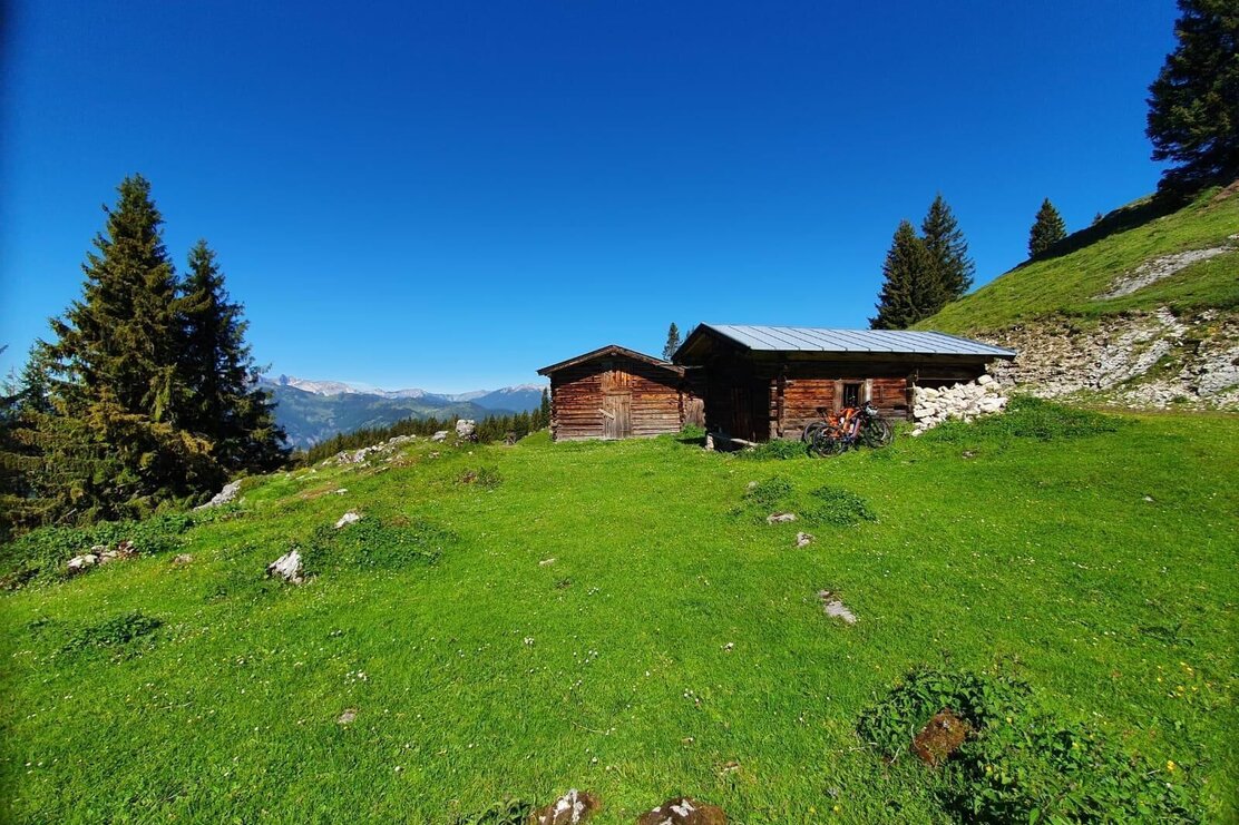
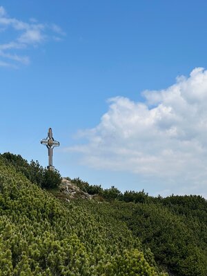
Shortly before the tennis court/Gasthof Kaiserblick in Breitenbach am Inn, follow the signs "Ruhreralm" "Plessenberg" to the left. The path climbs quite steeply up to the Ruhreralm. After the alpine hut, continue to the creek, then turn left and ascend to the "Ascherkreuz" at 1,458 m.
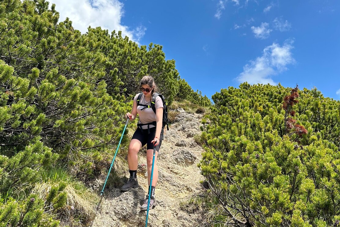
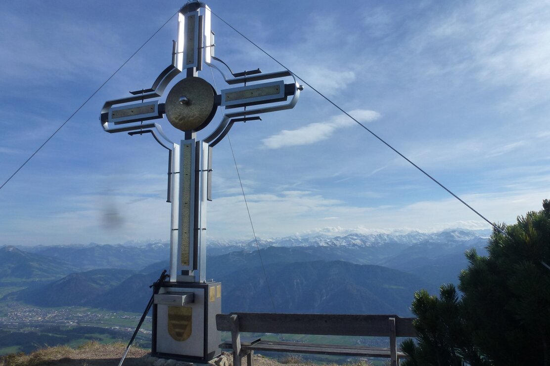
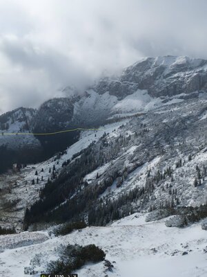
After the first break, continue westwards towards the start of the Plessenberg ascent. The trail initially goes through dwarf pines but soon leads into steep, rocky terrain. The ascent partly includes iron steps and is secured with ropes to the summit.
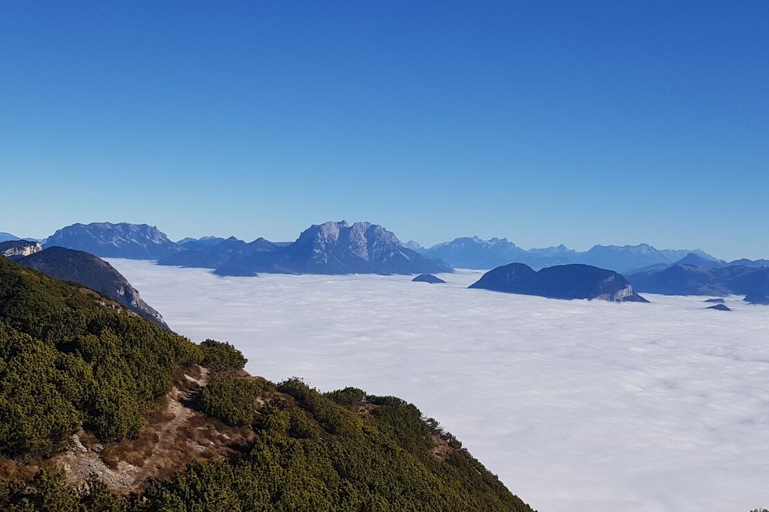
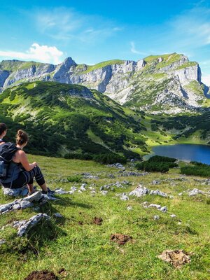
Enjoy the magnificent view in all directions. Especially the views of Großglockner and Großvenediger are sensational.
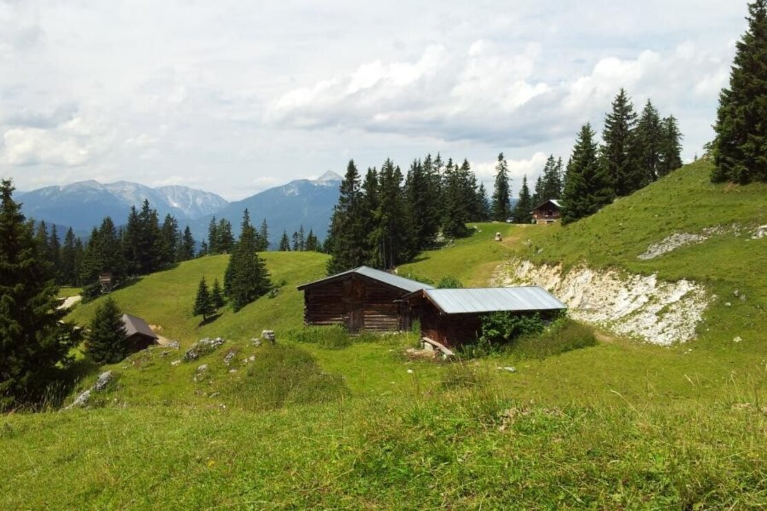
For the descent, we recommend continuing westwards, slightly downhill to Heubergsattel. Here, follow the exposed but short ascent to Heuberg and continue descending westwards over the alpine meadow to Jocheralm.
Just below the hut, follow the signs "Alter Steig" and descend along this path to the "Pumphaus" parking lot.
Pay attention to the signs "Breitenbach" here!
The trail descends briskly, first to the Jocherkapelle, then all the way down to the Ramsau district. Once on the asphalt road, turn left and follow the road to the first curve and then continue on hiking trail No. 5 to Gasthof Kaiserblick.
Details
| Max. Altitude | 1748 |
| Start | Breitenbach/Schönau |
| End | Breitenbach/Schönau |
| Public access | A12, Wörgl West highway exit, direction Kundl, direction Breitenbach, after Breitenbach A12, Kramsach highway exit, direction Kramsach, direction lakes, direction Breitenbach Follow the road through the village to Schönau district up to Gasthof Kaiserblick |
| Public transport |
Bus 621 to Breitenbach village Bus 760 to Schönau district Breitenbach |
| Parking | Parking lot at Hotel Kaiserblick available upon request at 0676 6648397 (daytime only) |
| Equipment | Surefootedness is essential when ascending Plessenberg – also when ascending Heuberg. The route is recommended to be done in the described direction because descending Plessenberg in the opposite direction is very dangerous due to scree! Sturdy shoes, weather-appropriate clothing, provisions |
