Upper Höhenweg Alpbach
Easy hike from Alpbach to Inneralpbach with many impressions and a fantastic view
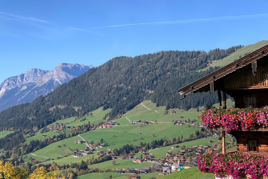
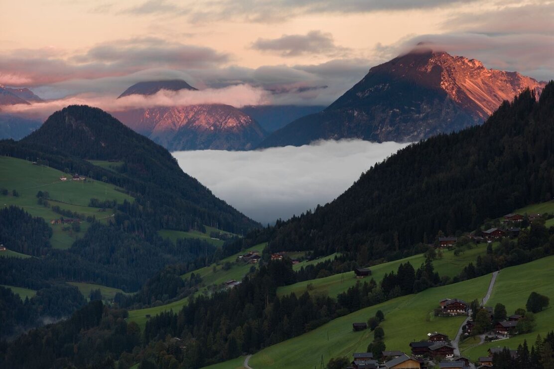
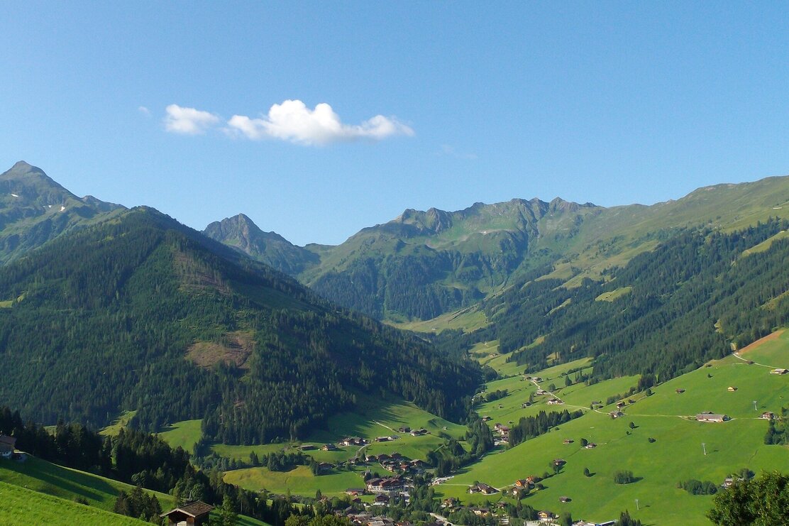
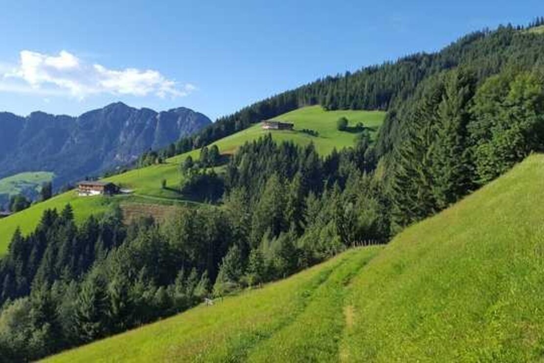
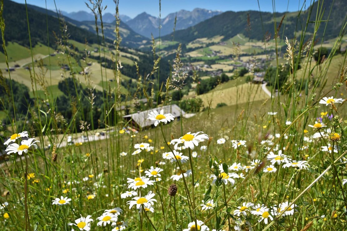
Alpbach, the most beautiful village in Austria, is an ideal starting point for many hikes in the Kitzbühel Alps. This easy hike from Alpbach to the valley end at Inneralpbach leads along varied paths above the valley and offers beautiful views of the surrounding mountain landscape.
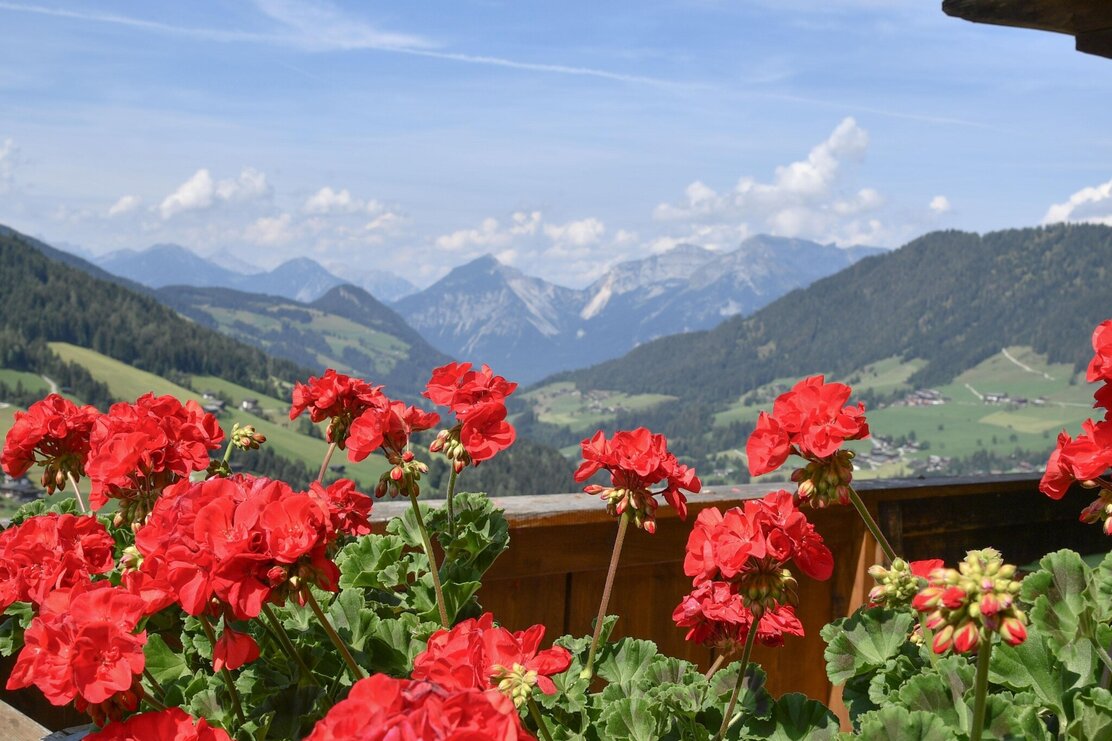
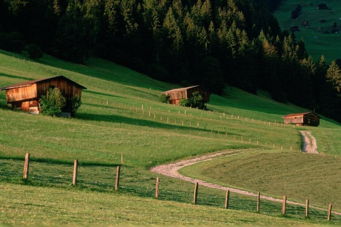
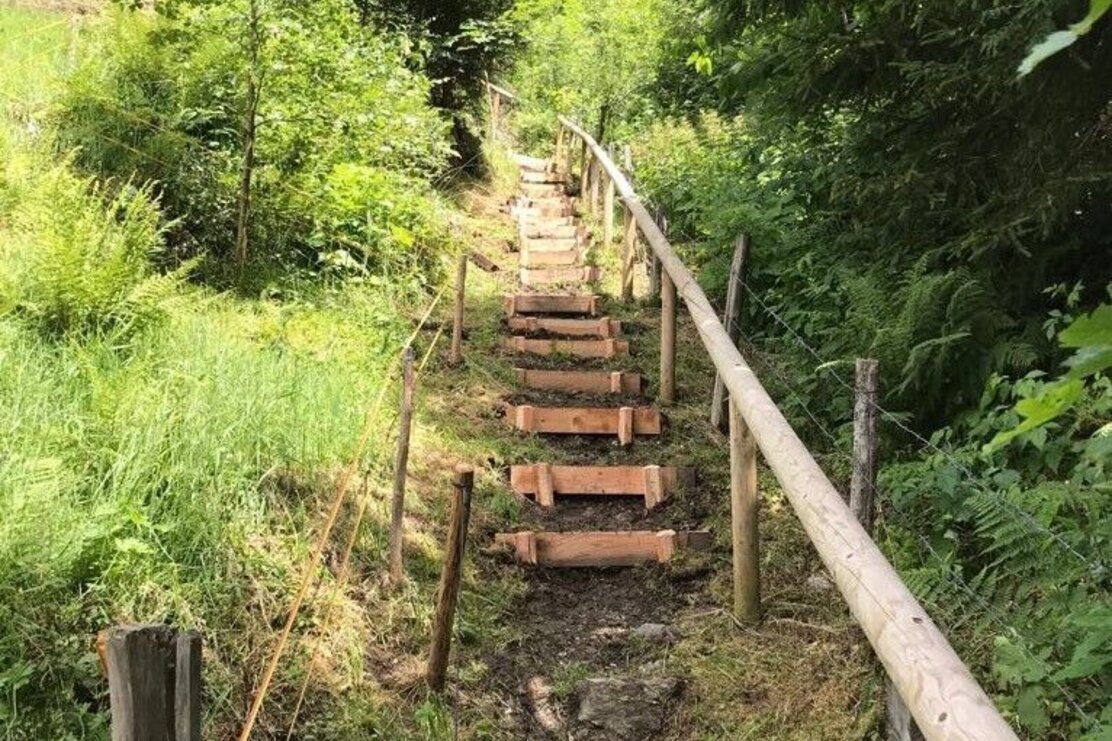
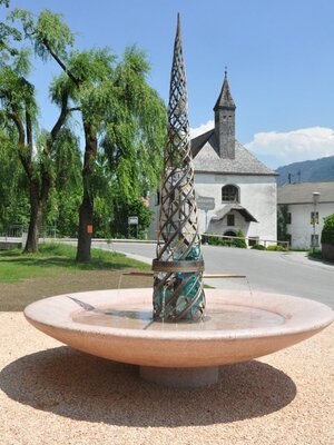
From the beautiful village centre in Alpbach, proceed above the Church of St. Oswald towards Congress Centrum Alpbach, always following the road up to the Zottahof/Rossmoos junction. After a short ascent, you first reach the Rossmoos alpine inn and shortly after the Wurmhof snack station. Both eateries are directly on the path in a wonderful location with the best views. The well-marked path then leads downhill through the “Talgraben” to Inneralpbach.
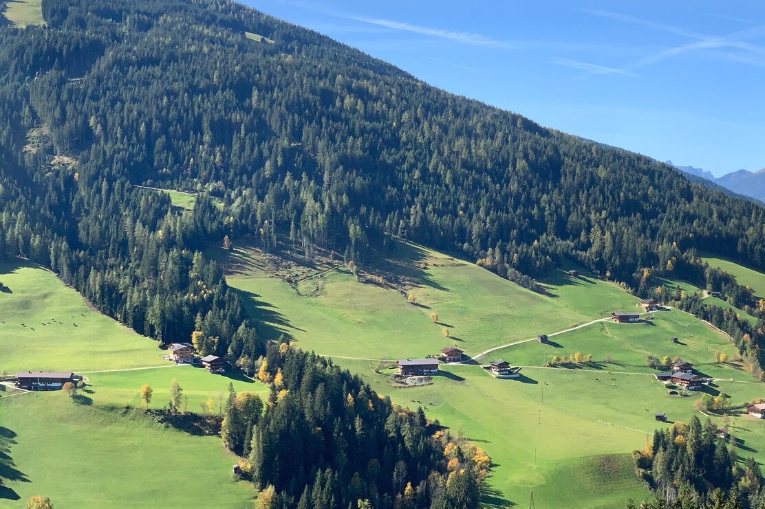
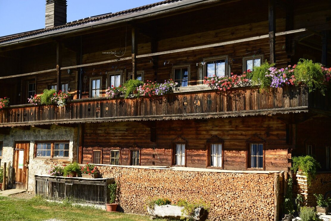
After the refreshment break, the hike continues past beautiful farms. Soon it goes downhill to Inneralpbach. Right at the bus stop to return to Alpbach village centre is the original Tyrolean inn Connys.
Details
| Max. Altitude | 1251 |
| Start | Alpbach village centre |
| End | Alpbach village centre |
| Public access | A12, Kramsach/Brixlegg motorway exit, direction Brixlegg. Towards Alpbachtal, after Alpbach |
| Public transport | www.vvt.at
Bus 620 |
| Parking | in front of the village centre |
| Equipment | This is an easy hike. Sturdy footwear is recommended. sturdy shoes |
