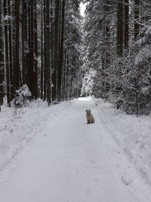
Winter Hiking
Difficulty: medium
Schneerosentalweg - Breitenbach
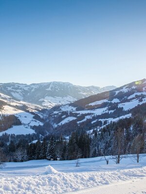
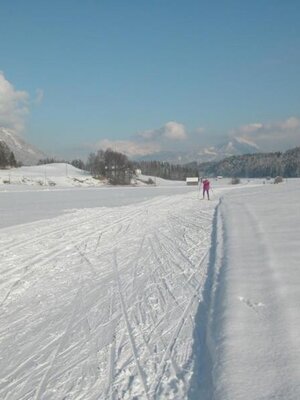
Hike along the Moosbach stream and the cross-country skiing trail in a wonderfully peaceful landscape, without significant elevation changes
Length
5.37 km
Duration
1:30 h
Altitude
38 hm
38 hm
From the cross-country skiing and winter hiking car park in Schönau (opposite house no. 87), walk straight south. After the bridge, turn left immediately onto hiking trail No. 6. Now continue straight ahead through the Schneerosental valley until you reach the crossing asphalt road. Turn left here and after about 300 m, turn left again following the road until you return directly to the starting point. The path is easy to walk and is characterized by the exceptionally quiet and beautiful landscape.
--> Note: Code of conduct for winter hiking
Round trip
Family friendly
Start in the valley
Details
| Max. Altitude | 604 |
| Start | Breitenbach district Schönau |
| End | Breitenbach district Schönau |
| Public access | Follow the road through the village center of Breitenbach; after about 5.5 km you will reach the car park on the left side of the road |
| Public transport | www.vvt.at |
| Parking | Cross-country skiing and winter hiking car park in Schönau |
| Equipment | sturdy shoes |

There's more!
