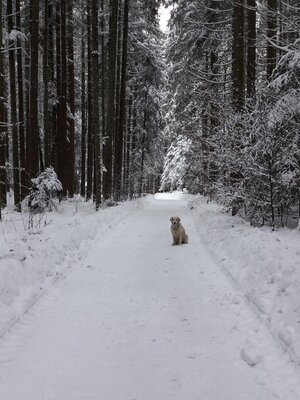
Winter Hiking
Difficulty: medium
Hygna - Zulehen - Reither Kogel - Hygna
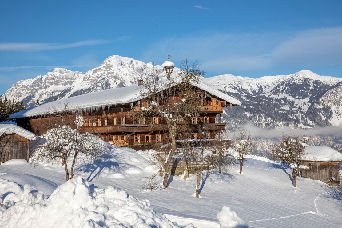
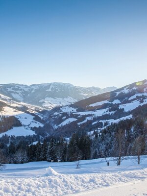
Hike with tobogganing option, passing many beautiful farms and magnificent panoramic views
Length
7.5 km
Duration
3:00 h
Altitude
313 hm
313 hm
At the Hygna chapel, go left (R18) uphill towards Neader to the Zulehenhof (R19) (or a little further uphill to the Hechenblaikenhof), but for the circular hike, turn right at the Zulehenhof onto path no. R34 - follow the hiking trail towards Reither Kogel. At Reither Kogel, at the junction with the road, turn right and walk down along the road back to Hygna (R14)
Round trip
Start in the valley
Details
| Max. Altitude | 1108 |
| Start | Reith im Alpbachtal district Hygna |
| End | Reith im Alpbachtal district Hygna |
| Public access | A12, Kramsach/Brixlegg motorway exit, direction Brixlegg, direction Alpbachtal, after Reith im Alpbachtal turn right uphill to the district Hygna |
| Public transport | www.vvt.at |
| Parking | Hygna |
| Equipment | sturdy shoes |

Tips for you
Good to know
There's more!
