Loderstein 1,830 m
Summit route in the Kitzbühel Alps. A little insider tip!
The route starts directly at the Kerschbaumer Sattel. At the top there is a lay-by with parking spaces on the left side of the road.
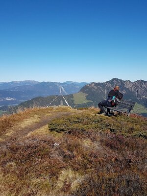
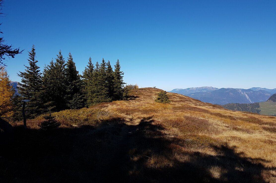
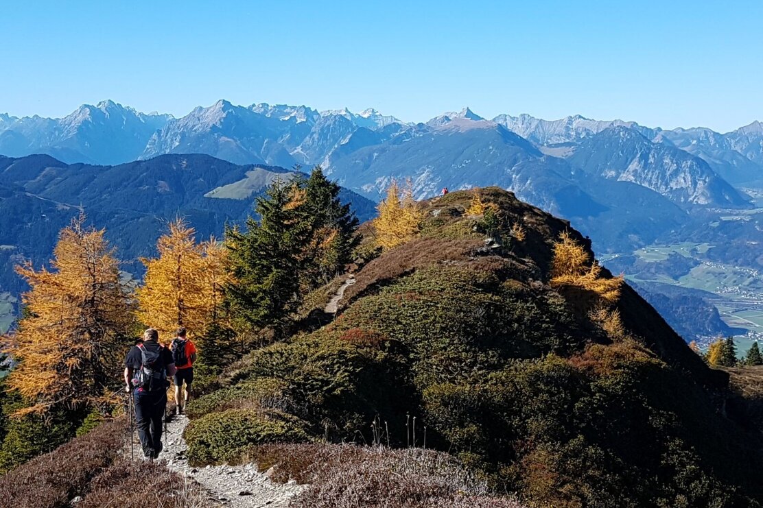
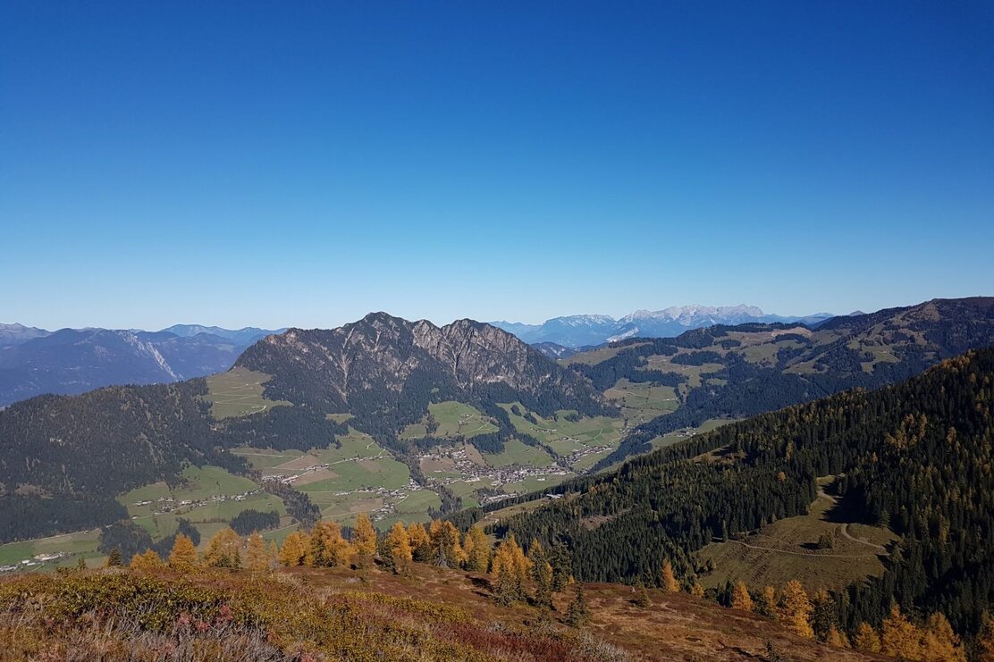
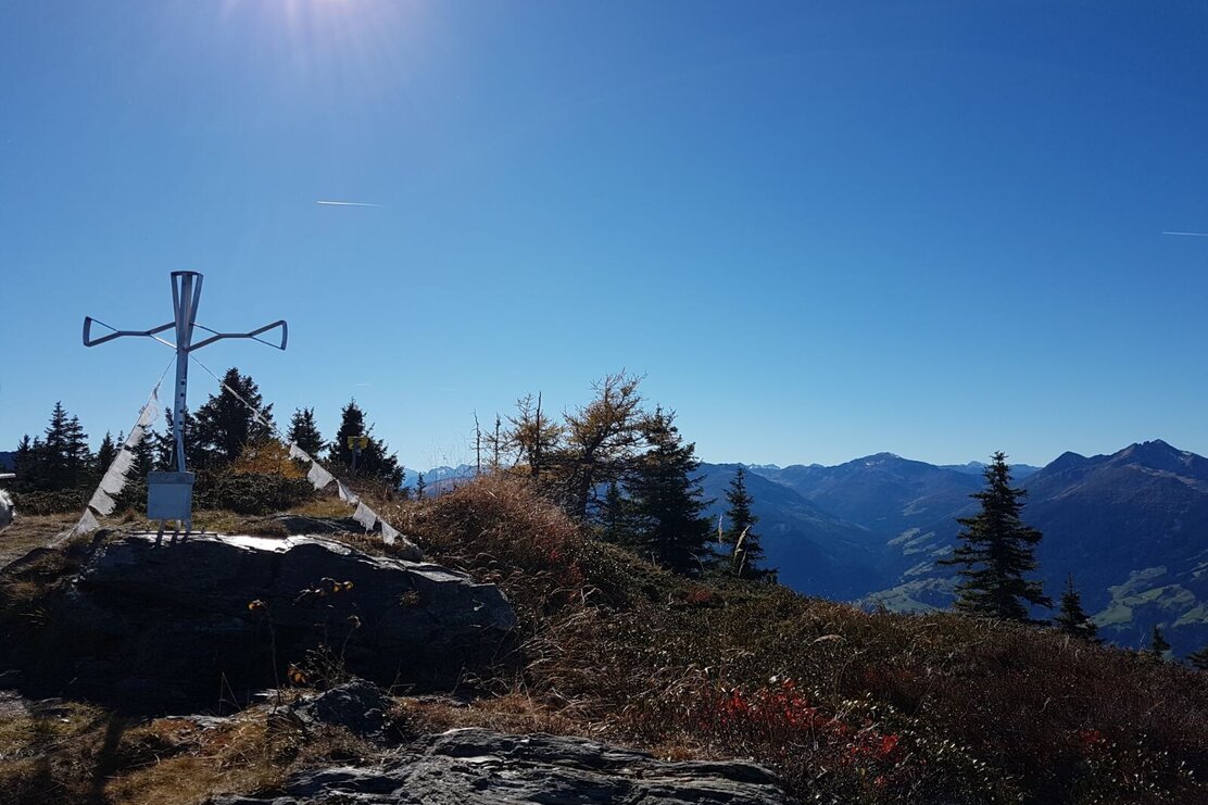
From the Kerschbaumer Sattel (1,100 meters) you follow a forest road (R 16 and 31), mainly through woodland, up to the Hechenblaikenalm (1,393 meters) or Wildsauhütte. The path is well signposted and therefore hardly to miss. Behind the alm, three paths branch off – choose the middle one. Here continue uphill to the edge of the forest, where the trail turns right. Stay alert, as the path is not clearly visible! A guide is a fence leading to a hut. Now the path ascends over wooded terrain steps and reaches the point where the ascent path from Bruck in the Zillertal joins. Follow this further uphill to the turning point of a forest road. Here turn immediately left and hike along the forest ridge. At the next fork continue straight ahead, and soon you will reach the viewing plateau at Loderstein 1,830 m – exactly the right place to rest and admire the fascinating mountain panorama.
Walking time to the summit about 2 hours!
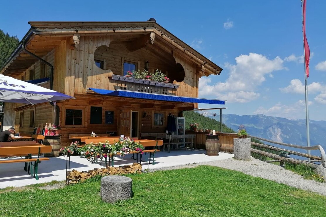
On the return route descend left to the Kohlgrubenalm (1,608 meters) and continue to the Hechenblaikenalm. Here is also the place to stop “Wildsauhütte”. From here back to the starting point at Kerschbaumer Sattel.
Details
| Max. Altitude | 1832 |
| Start | Kerschbaumer Sattel |
| End | Kerschbaumer Sattel |
| Public access | A12 - exit Kramsach - Brixlegg - Reith im Alpbachtal - turn right into the district of Hygna - at the fork near the chapel turn right - past the Almstüberl Gschwendt always straight ahead to Kerschbaumer Sattel. |
| Public transport | Not accessible by public transport |
| Parking | Kerschbaumer Sattel - on the left side there is a bay with parking spaces |
| Equipment | Sturdy footwear, rainwear, drinks, food, sun protection |
