Roßkogel 1,948 m via Anderl's Hut
Summit ascent in the Rofan mountains via the Brandenberg alpine pasture area
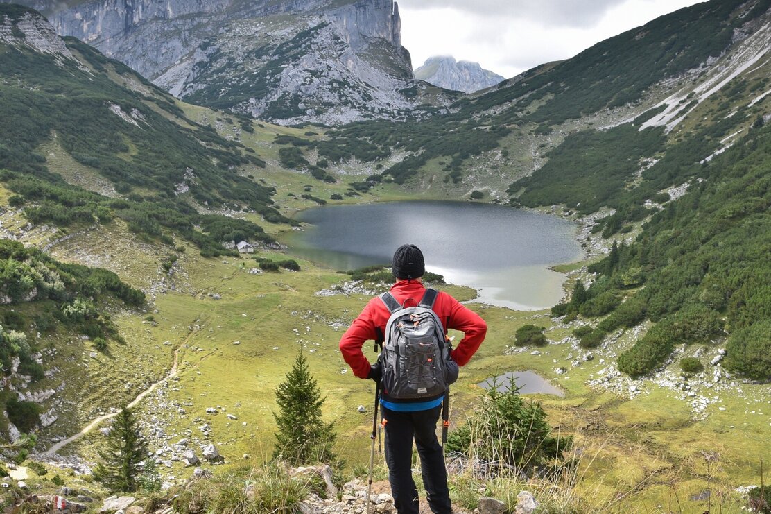
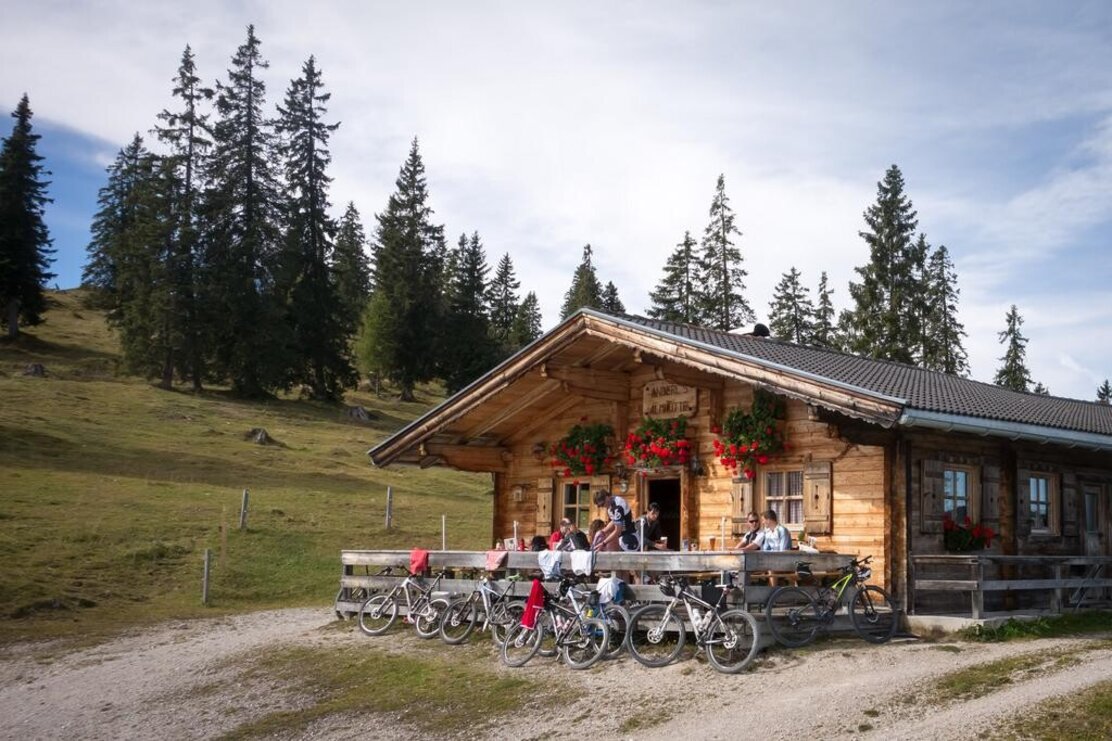
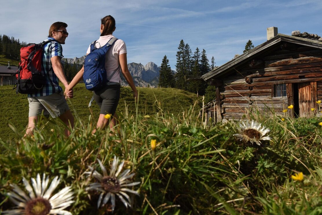
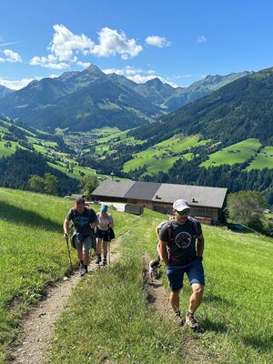
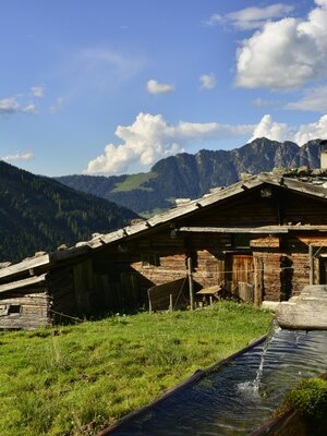
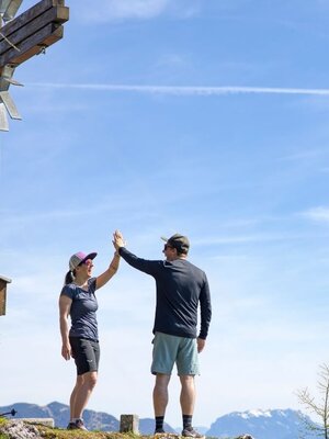
Drive by car from the district Aschau to the parking lot "Wimm". From here the hike partly leads over forest roads first over the Eilalm to "Anderl's Hut" and further over Labegg to the Kreuzein high pasture. Now a somewhat steeper ascent to the foot of the Roßkogel. At the crossing with the many yellow signs, turn left and climb a short ascent to the summit of Roßkogel (approx. 3 h). A sensational view over the Inn valley and the surrounding mountain ranges awaits you. After an extensive rest, a detour to the Zireiner See lake is recommended. Follow the signs at the summit. Descent to the crossroads and straight on approx. 45 min. to the lake. Return the same way! (Return approx. 3 h)
Or as a circular hike: From the summit head west down to the Berghaus Sonnwendjoch . From here further steeply down to the Hochalm, then slightly upwards and around the ridge over the "Hörndl" to the Kreuzeinalm, which you already know from your ascent. The rest of the way you hike back on the known ascent path to the starting point. (approx. 3 h from Roßkogel)
Details
| Max. Altitude | 1948 |
| Start | Brandenberg/Aschau/Wimm |
| End | Brandenberg/Aschau/Wimm |
| Public access | A12, motorway exit Kramsach, direction Kramsach, direction former Sonnwendjoch cable car, past this, to the district Aschau, uphill through the village to the parking lot Wimm |
| Public transport | not possible by public transport |
| Parking | Parking lot Wimm Brandenberg/Aschau |
| Equipment | Sure-footedness is required when descending to the Berghaus Sonnwendjoch. sturdy shoes, weatherproof clothing |
