Road Cycling
Difficulty: difficult
Road bike 09 Alpbach-Reither Kogel
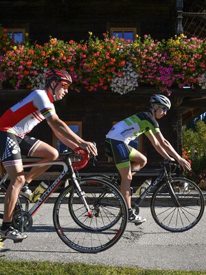
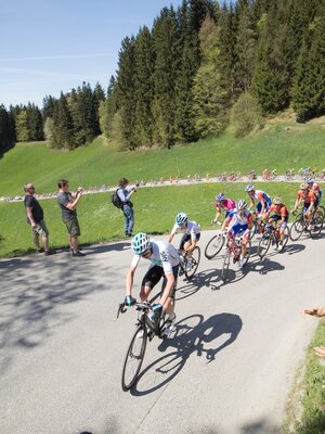
Beautiful route through the Alpbachtal with breathtaking views. But the sporty aspect will not be neglected here either.
Length
46.79 km
Duration
2:45 h
Altitude
1150 hm
1150 hm
TVB Route 09 – Alpbach-Reither Kogel
- Distance 46 km
- Altitude gain 1160 m
- Incline Up to 10% (600m 17%)
- Best time Early summer – late autumn
- Difficulty hard
Round trip
Rest stop
Details
| Max. Altitude | 1219 |
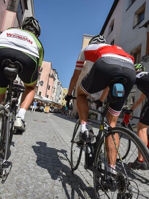
| Start | Rattenberg town fountain |
| End | Rattenberg town fountain |
| Public access | From the Kramsach/Alpbachtal motorway exit turn left towards Brixlegg/Rattenberg. Take the 3rd exit at the roundabout, after 400m you will find the city parking lots (partially paid) in Rattenberg. - or by bike https://radrouting.tirol/ |
| Public transport |
Train station in immediate vicinity |
| Parking | By train to Rattenberg station, by car to one of the parking lots in Rattenberg (East and West) |
| Equipment | Right-hand traffic applies and the road traffic regulations must be observed. You are moving here on public roads, please be aware that you have no crumple zone. Helmet, glasses, gloves, rain protection, bike outfit, first aid kit, spare tube, tire levers, pump or cartridge, mobile phone, cash, bank card, water bottle, gel and/or bars, cap or bandana, leg warmers, arm warmers; In any case, adapt the equipment to the season. |


Tips for you
Good to know
There's more!


