Walking and hiking tours
Difficulty: Easy
Reither Kogel - from mountain to valley
Comfortable downhill walk with a beautiful view of the Inn Valley, Rofan Mountains and Karwendel
Length
5.28 km
Duration
1:30 h
Altitude
20 hm
563 hm
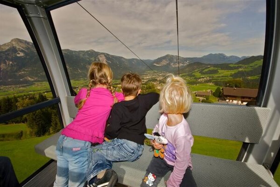
After the short ascent with the Reitherkogelbahn you hike via the Nisslhof (not run as a business) to the Rosenkranz Chapel. From there you continue downhill towards the Almstüberl Gschwendt.
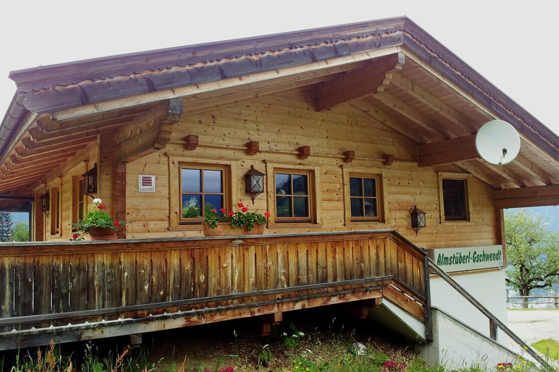
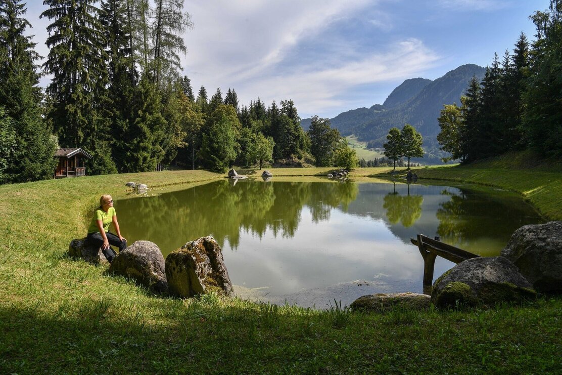
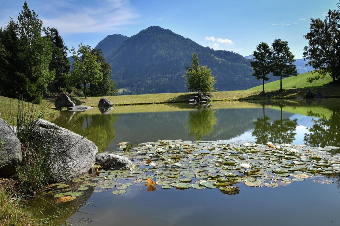
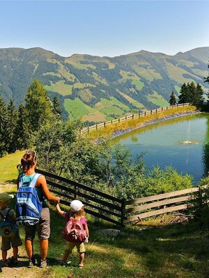
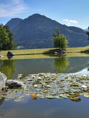
From the Almstüberl you reach the idyllic storage pond, which invites you to take a short break. Pass the Wölzenberg farm on the left, and along a very steep forest path down to the valley. You reach the Angererhof after about 10 minutes, from there walk towards the center of Reith im Alpbachtal / valley station Reitherkogelbahn (starting point).
Rest stop
Start on mountain
Details
| Max. Altitude | 1204 |
| Start | Mountain station Reitherkogelbahn |
| End | Valley station Reitherkogelbahn |
| Public access | A12, motorway exit Kramsach/Brixlegg, direction Brixlegg, direction Alpbachtal, valley station Reitherkogelbahn |
| Public transport | www.vvt.at bus 620 |
| Parking | Valley station Reitherkogelbahn |
| Equipment | sturdy shoes |

Tips for you
Good to know
There's more!
