KulTour - Heilwasserweg Kramsach
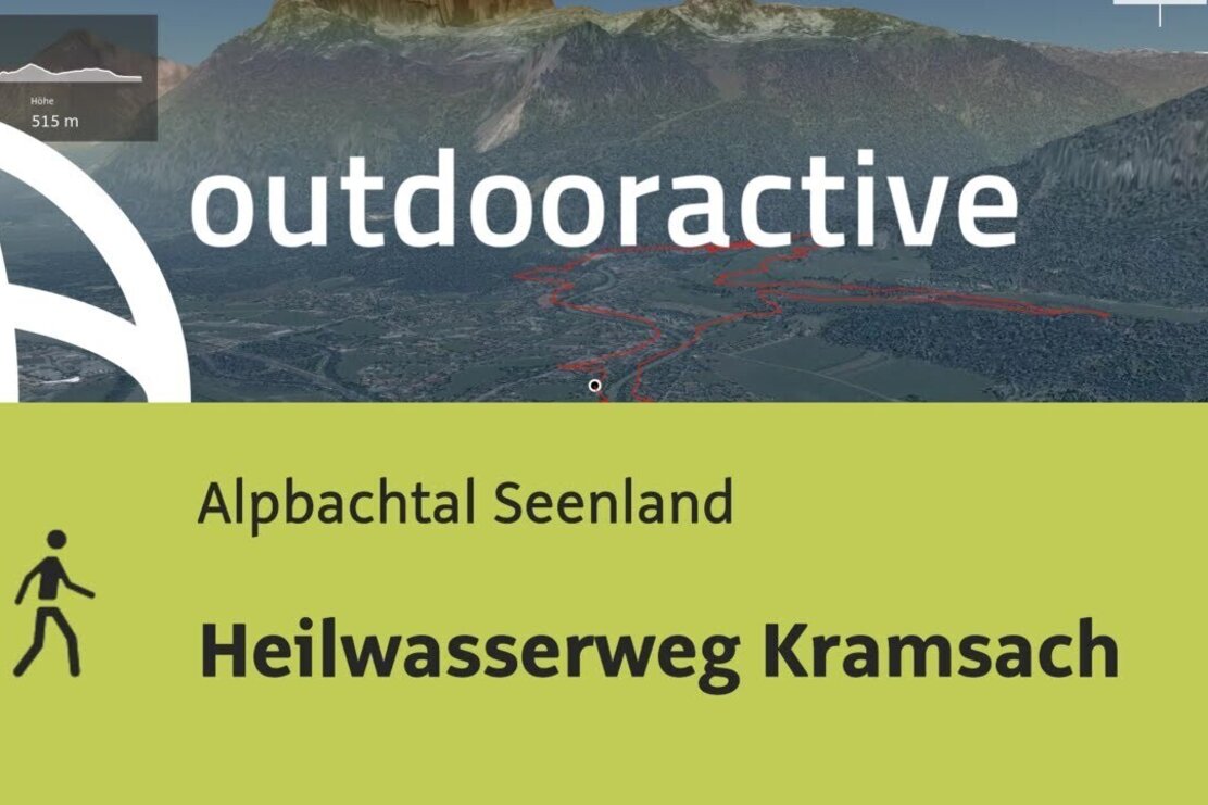
Relaxed hike following the traces of healing water through Kramsach. Water as cultural heritage! Along the water and healing water trail Kramsach you can explore the beautiful nature around the streams, fountains, and lakes.
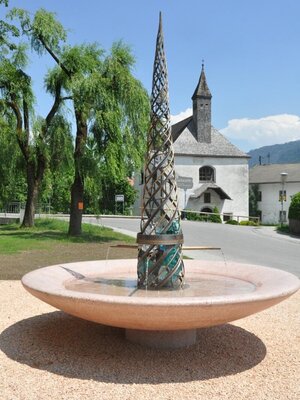
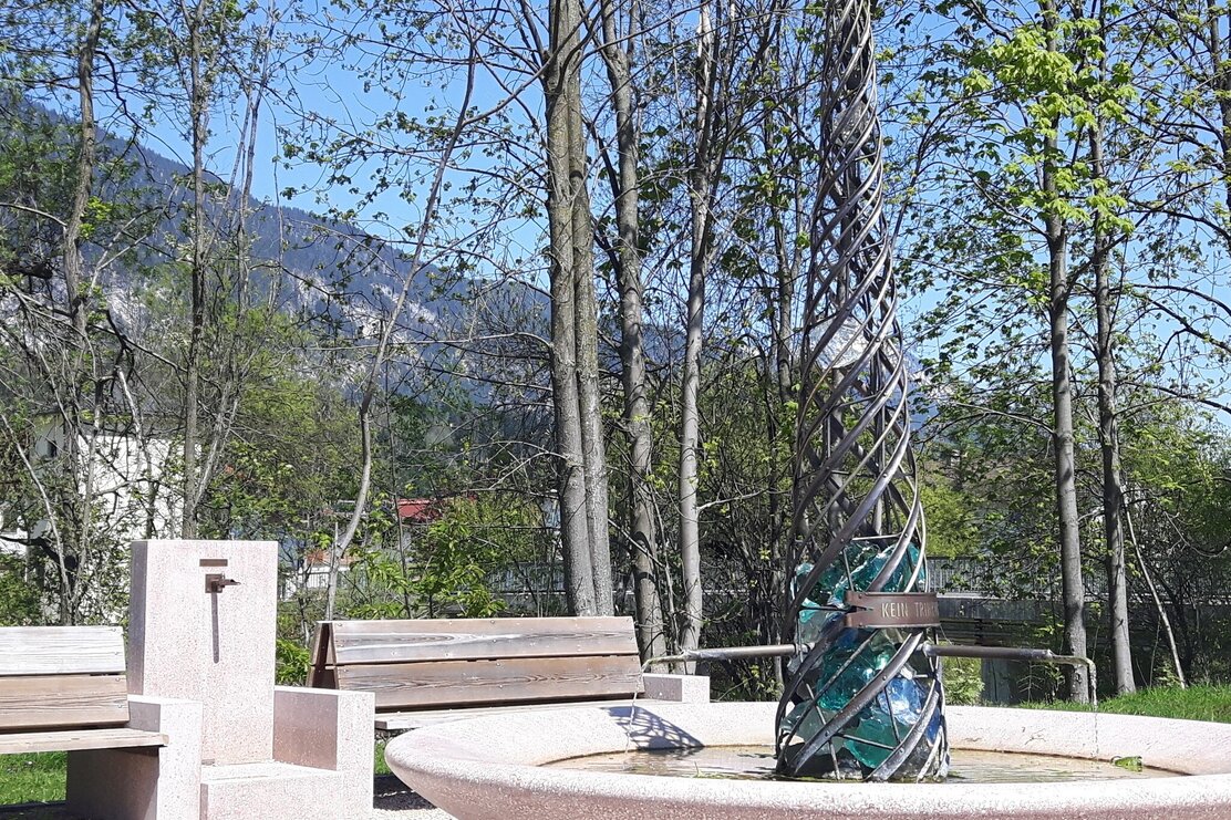
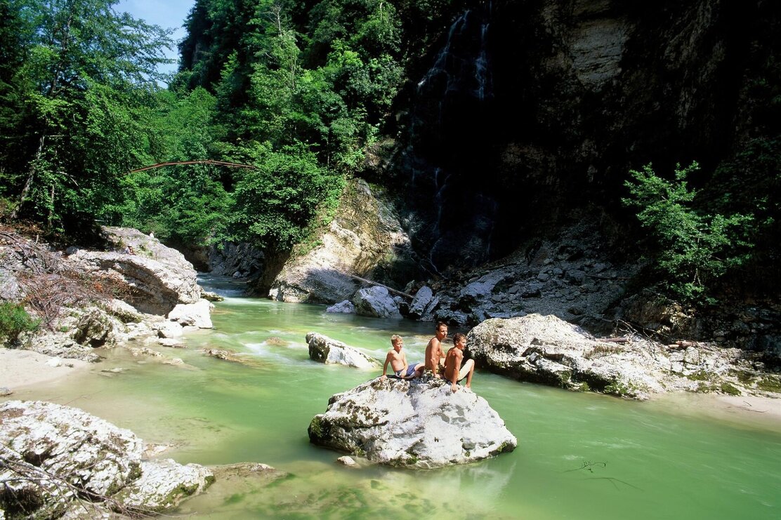
The route starts in Rattenberg (city gate on the eastern side of the town). The first path leads you along Tyrol's largest river - the Inn. Here also runs the Inn Valley Cycle Route 2 (eastwards to the Danube and westwards to the source of the Inn). Here you cross the Inn bridge and follow the signs to the healing & thermal water fountain in Kramsach/Waidach district.
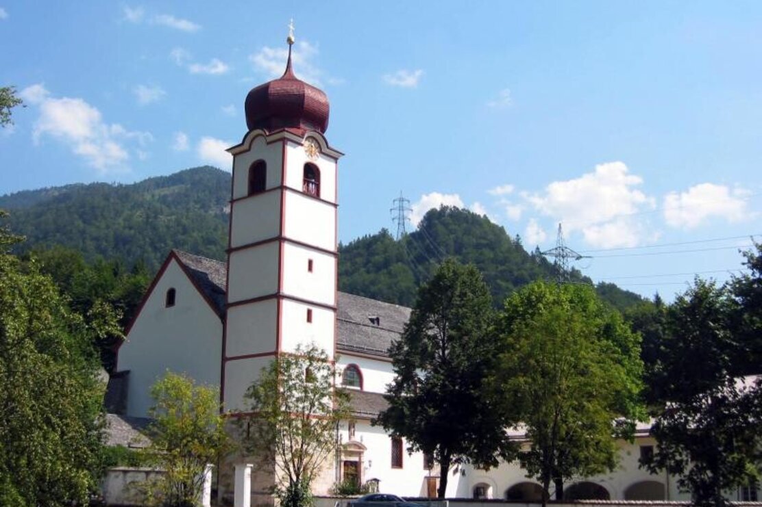
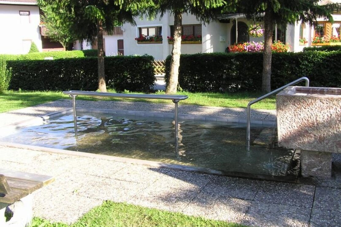
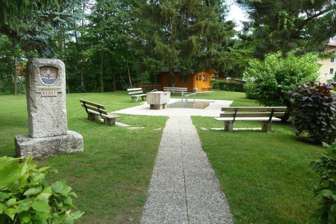
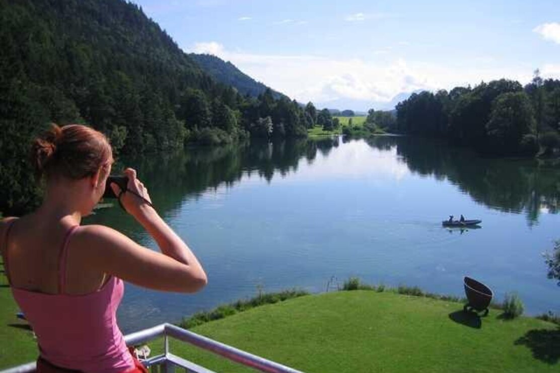
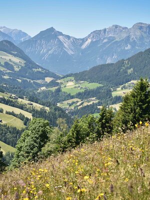
On the left (western) bank of the Brandenberger Ache, continue along the Ache towards Kramsach center to the Kneipp facility near the tennis court and the former log floating site. Pass the tennis hall and stay on the left side of the Ache. After a short ascent on the state road, pass the former Sonnwendjochbahn and continue on state road L4 towards Brandenberg/Aschau. Cross the Ache at the second wooden bridge and continue right towards Mariathal Basilica. Always follow the signs for "Heilwasserweg." Continue behind the Mariathal Basilica through the forest. After crossing the state road, a beautiful panoramic path leads towards Pulvererhof. From here you have a wonderful view over the Kramsach lake plateau (Frauensee, Buchsee, Krummsee, Reintalersee) and the Inn Valley.
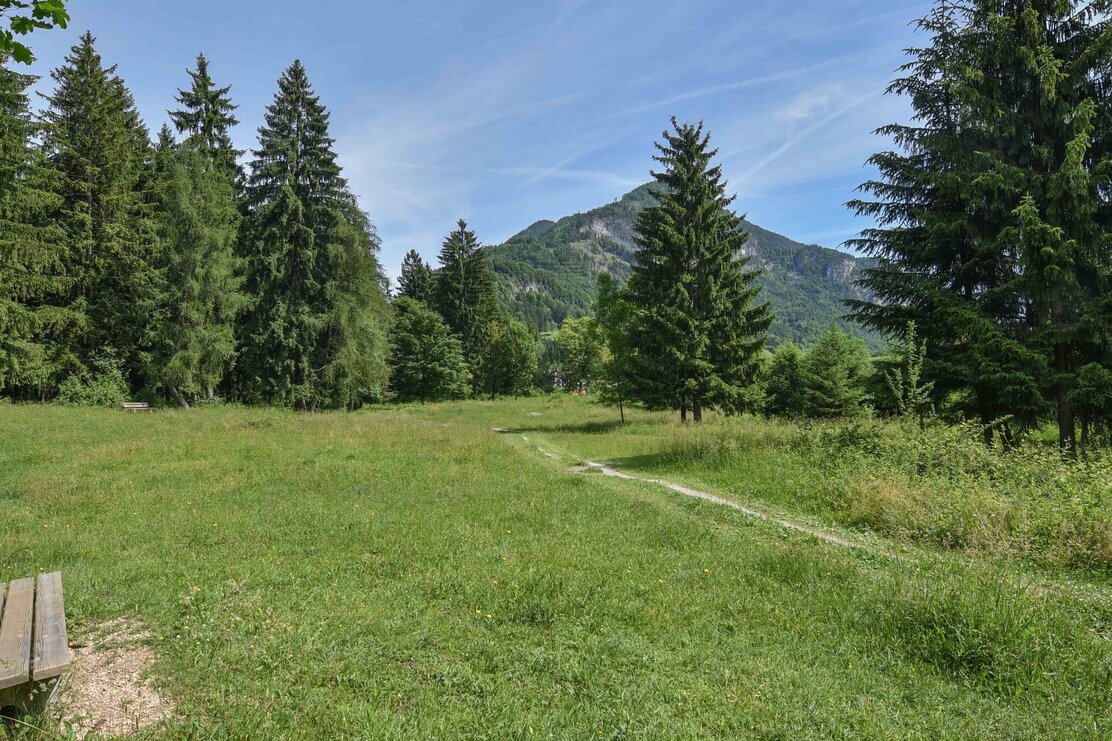
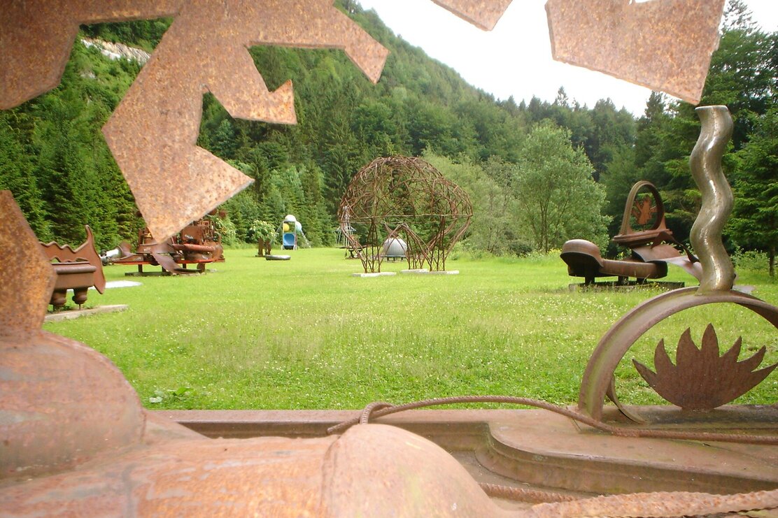
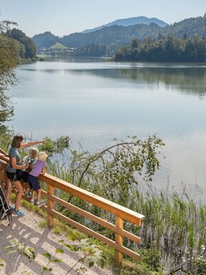
The hike then leads downhill past the idyllic Frauensee to the state road. Turn left here and go uphill on state road L211 to the water wheel and Krummsee. Upon reaching Krummsee, follow the dirt path between Krummsee and Buchsee (known for its abundance of water lilies). The path leads between the two lakes. At the next intersection, turn left towards Reintalersee. At the lake, you can circle it in both directions. You can also take the hiking trail from the campsites about a 10-minute walk to the Museum of Tyrolean Farms. A visit to Tyrol's largest open-air museum is always worthwhile (duration approx. 1.5 hours). After circling the lake, return towards Krummsee/Buchsee to the junction and turn left towards the forest to Seebühel. There take the "Eiskeller" path (left junction) towards Kramsach village center. Also watch for the "Heilwasserweg" signs here. On the left side of the Brandenberger Ache, go past the Waidach chapel and the healing & thermal water fountain on the same route back to the starting point in Rattenberg.
End the beautiful hiking day in Rattenberg, Austria's smallest town – relax with coffee and cake or a stroll through the town.
Note: entire route including visits and stops: approx. 4-5 hours
Details
| Max. Altitude | 620 |
| Start | Rattenberg - east parking lot (P5) |
| End | Rattenberg - east parking lot (P5) |
| Public access | When arriving by car, take the federal road B171 to Rattenberg and park on the eastern side of the town at parking lot P5 |
| Public transport | Train: Kramsach-Rattenberg stop (located on the eastern side of the town) Bus: Arrival: Radfeld Mittelschule Rattenberg stop Bus 610 or 621 |
| Parking | Rattenberg parking lot P5 (free) |
| Equipment | Sturdy and good footwear, hiking map, trekking poles, rain jacket, head covering |
