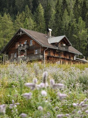
Farmkehralm via the Schützensteig
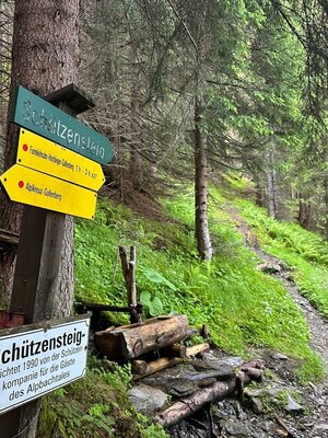
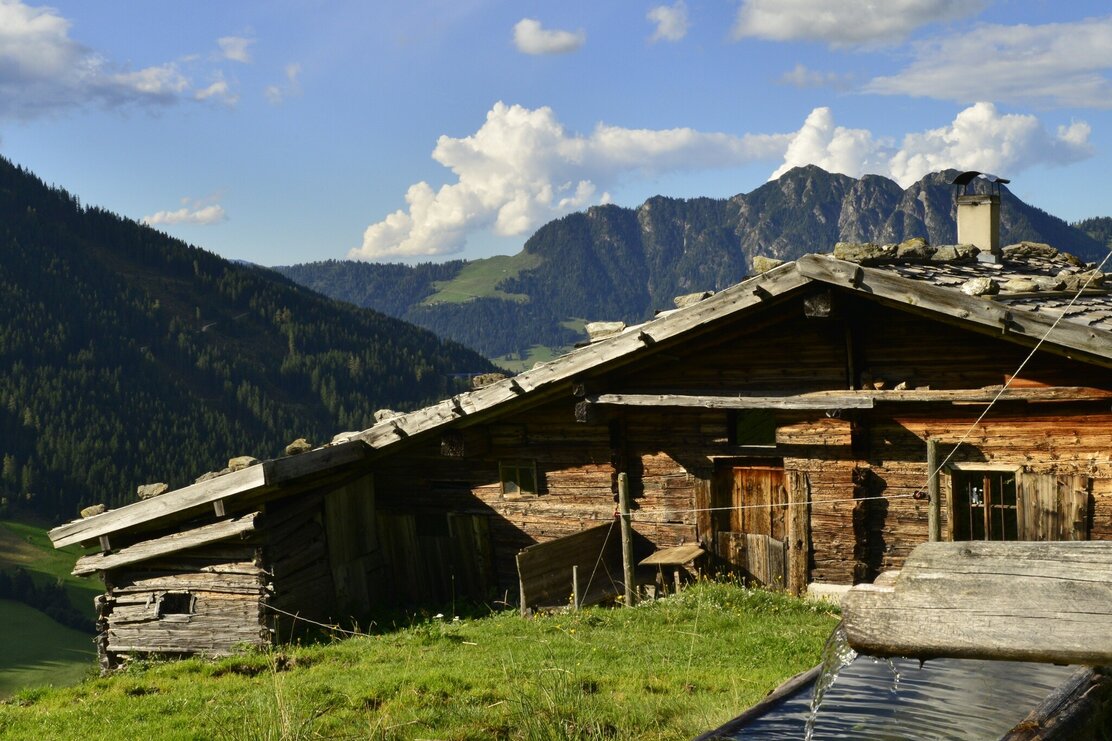
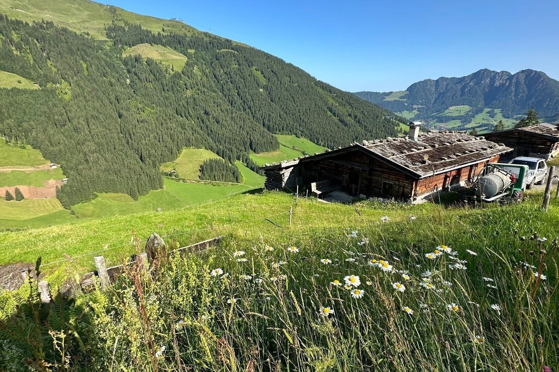
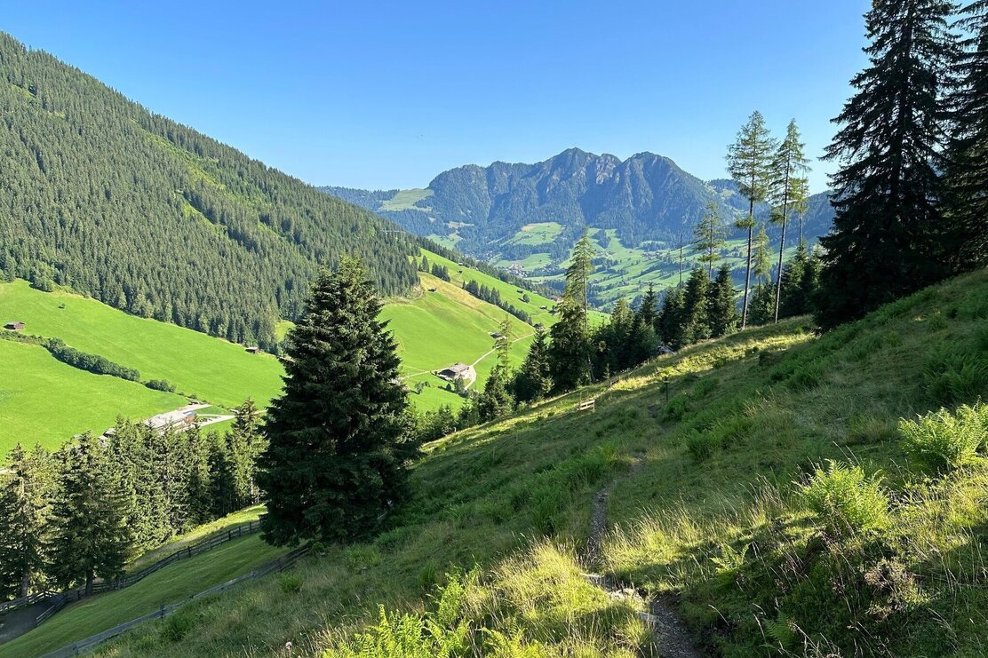
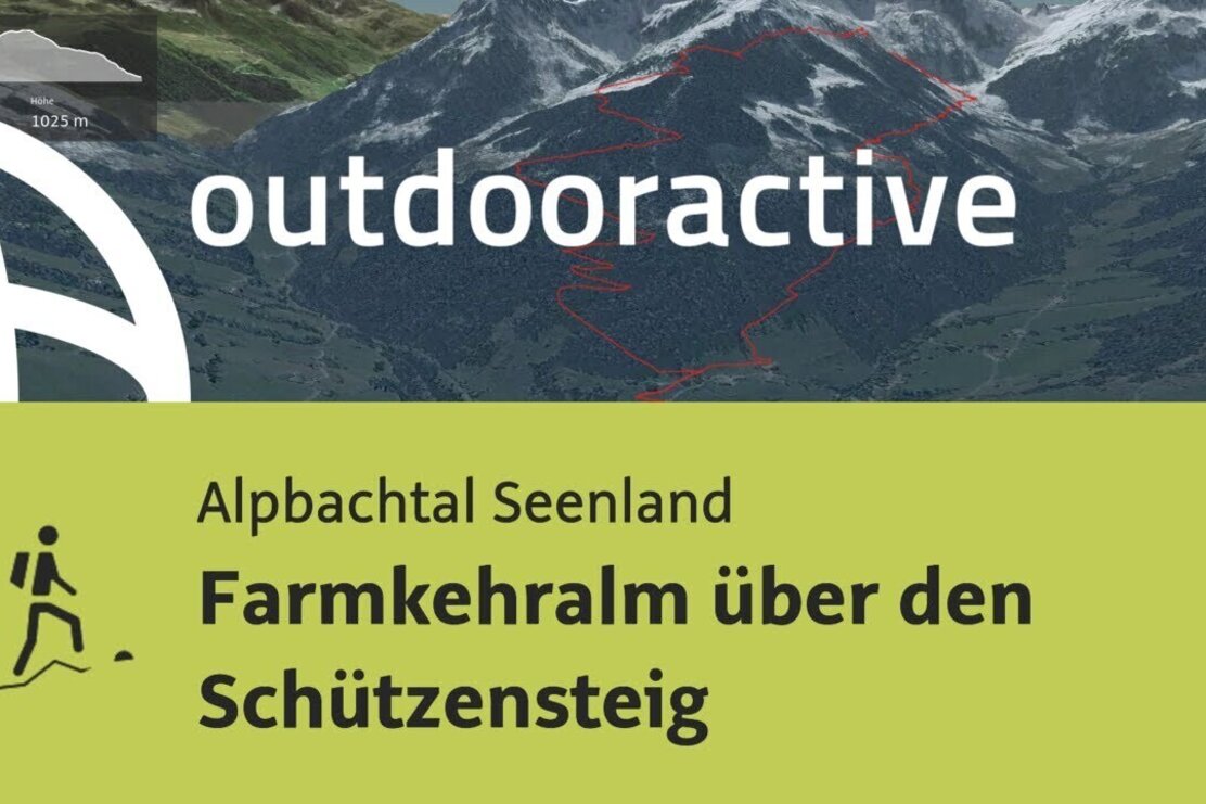
On the Schützensteig there is a scenic route into the Greiter Graben up to the Farmkehralm
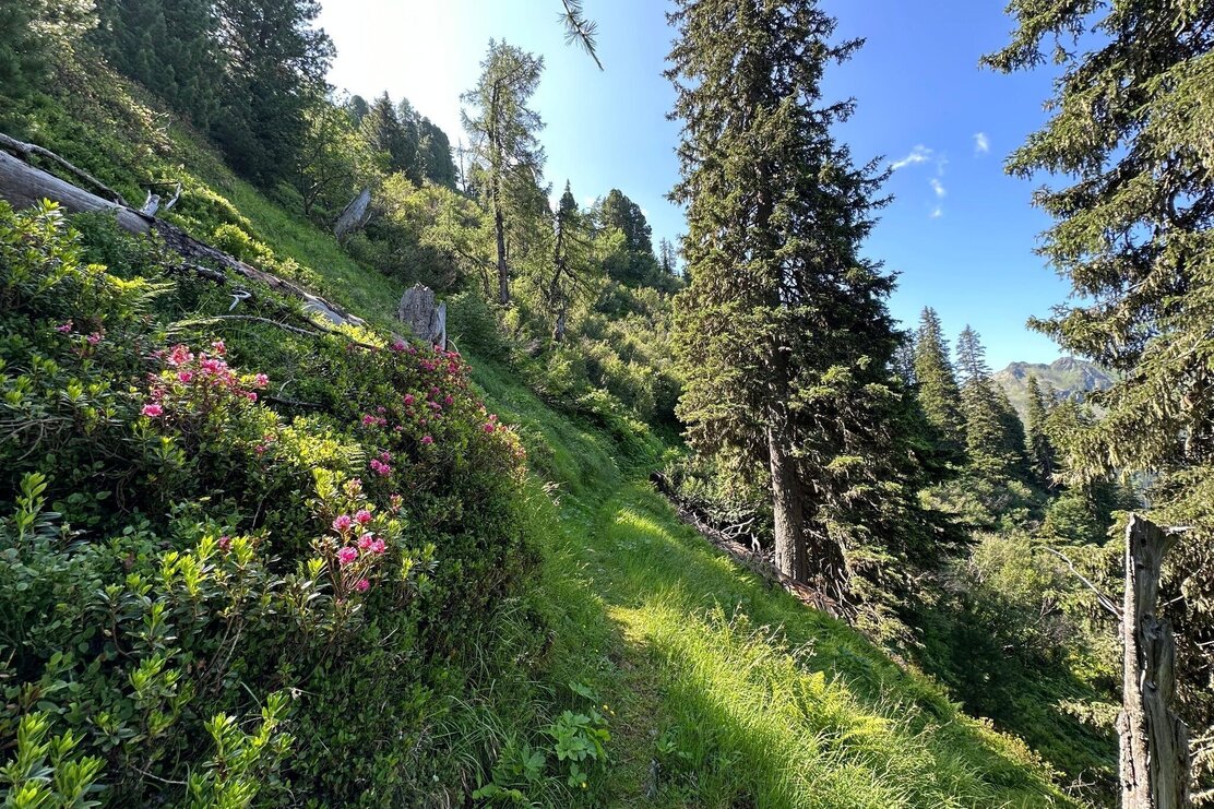
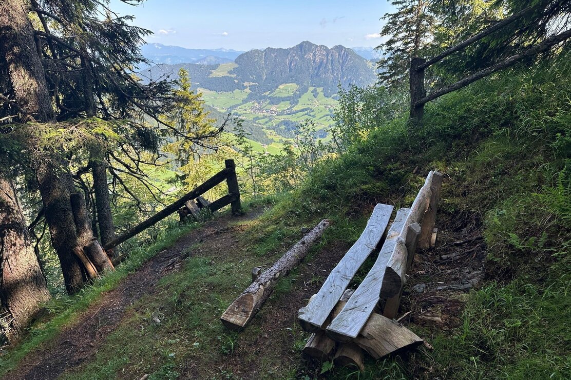
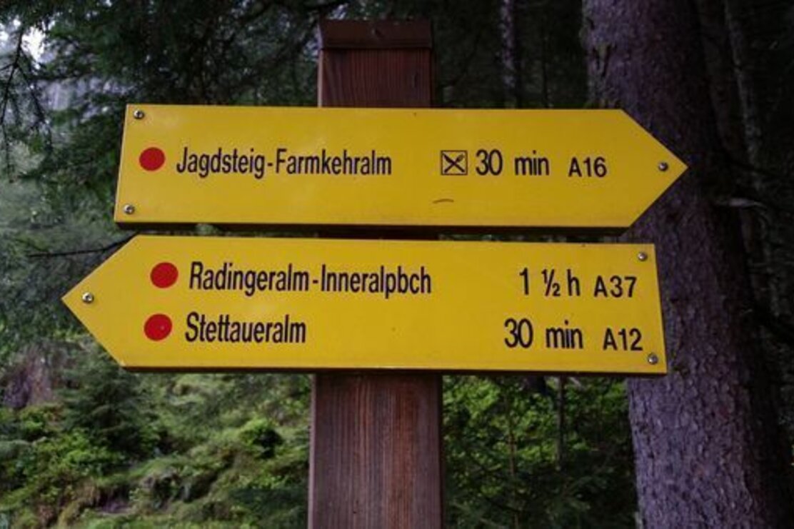
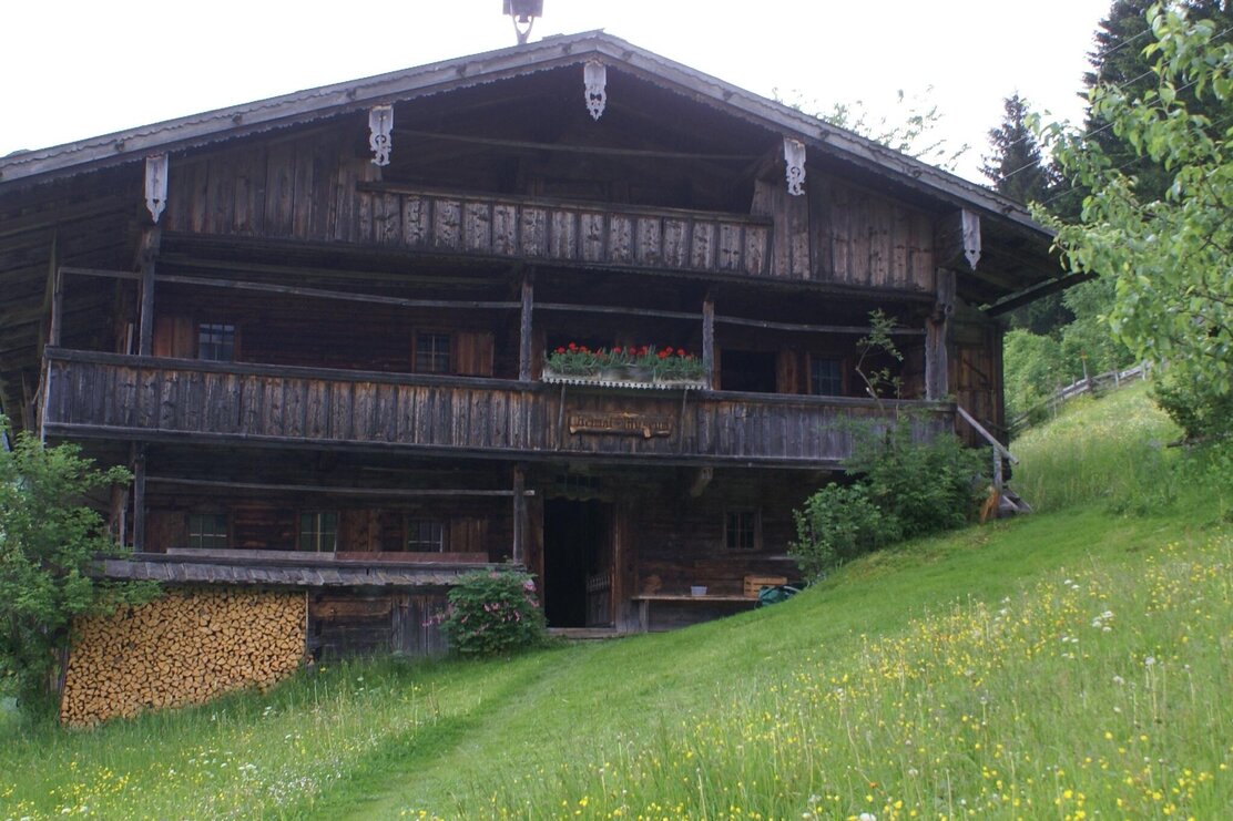
From Inneralpbach at the Galtenberg Resort upwards to the Mountain Farmers Museum, here go right, following path A37 past and upwards via the path or partly over the forest road - always following the signposts "Alplkreuz." After about 1.5 hours you reach the Alplkreuz (a small hunting hut). At the hut, go right in the direction of "Farmkehralm." The next junction is passed straight ahead and the path continues to the upper pasture of the Farmkehralm. We continue straight ahead, slightly uphill and downhill, passing beautiful old stone pines. At the upper pasture (high alpine pasture) you then only have about 20 minutes downhill to the Farmkehralm. The return route leads directly behind the alm over the hunting path back to the starting point.
Details
| Max. Altitude | 1788 |
| Start | Inneralpbach |
| End | Inneralpbach |
| Public access | A12, motorway exit Kramsach/Brixlegg, direction Brixlegg, direction Alpbachtal to Inneralpbach |
| Public transport |
Bus 620 |
| Parking | Parking lot Inneralpbach |
| Equipment | When descending from the Stettauer Alms surefootedness is required when wet. However, there are no exposed sections on the entire route. Sturdy footwear and weather clothing |
