Brach(ial) Route Kundl
Challenging running route to push yourself. Steep climbs, narrow trails, and demanding descents provide a real adventure – perfect for anyone wanting to test their limits!
Ready for a challenge that helps you grow? The Brach(ial) Route lives up to its name: 9.6 kilometers, 570 meters of elevation, and plenty of pure nature – that’s trail running with a view and a challenge.
Right from the start, it gets serious: the Reflection Path welcomes you – but today it’s less about contemplation and more about energy. You feel your body moving, your breath merging with the rhythm of your steps. Switchback after switchback you climb higher – with every meter, you leave everyday life further behind.
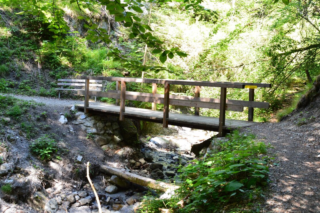
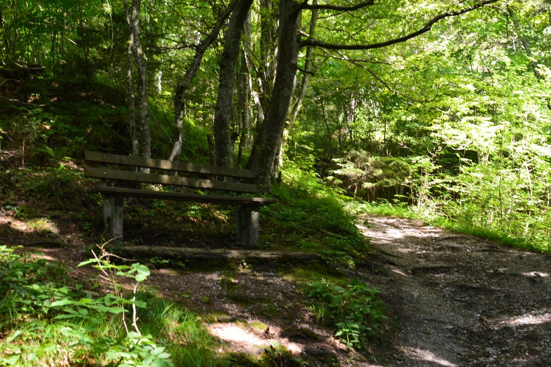
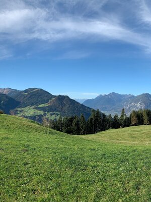
The path takes you through quiet forest sections, past fragrant soil and moss-covered stones. And then – the first view into the distance. Peaks appear, the valley lies at your feet. By now you know: every step is worth it.
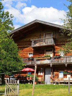
At the top, Brachalm awaits you – a place to catch your breath. The vastness fills you with pride, the panorama clears your mind. Maybe you pause briefly, enjoy the moment – before heading back down.
The return route promises real flow: over a well-runnable forest road and the toboggan run, you glide back down to the valley. Your legs almost carry you by themselves, the breeze tickles your face, adrenaline makes you light.
And then there's the goal. You feel the warmth in your muscles, the tingling in your fingertips – and that indescribable feeling of having accomplished something.
The Brach(ial) Route is no walk in the park. But that’s exactly what makes it so special. Ready to grow beyond yourself?
Details
| Max. Altitude | 1094 |
| Start | Parking lot Kundler Klamm |
| End | Parking lot Kundler Klamm |
| Public access |
A12 motorway exit Wörgl West towards Kundl, or B171 from Rattenberg to Kundl, or L211 from Kramsach to Breitenbach, over the bridge to Kundl |
| Public transport | |
| Parking | Parking lot Kundler Klamm |
| Equipment | 1. Check weather & route Rain, snow or path closures? Always check the weather forecast and route info before starting. 2. Appropriate gear Trail running shoes with good grip and weather-adapted clothing are a must. Don’t forget your phone – for emergencies. 3. Run safely Watch out for roots, slippery spots, and loose gravel – especially downhill, better controlled than too fast. 4. Drink & energy Bring a water bottle or hydration backpack – especially in warm weather. A small snack never hurts either. 5. Respect nature & animals Stay on the paths, take your trash with you, and keep a distance from wildlife. 6. Emergency preparedness Let someone know where you are going. When in doubt: better take a break or call for help.
|
