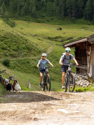
Bike and Hike Rofanspitze
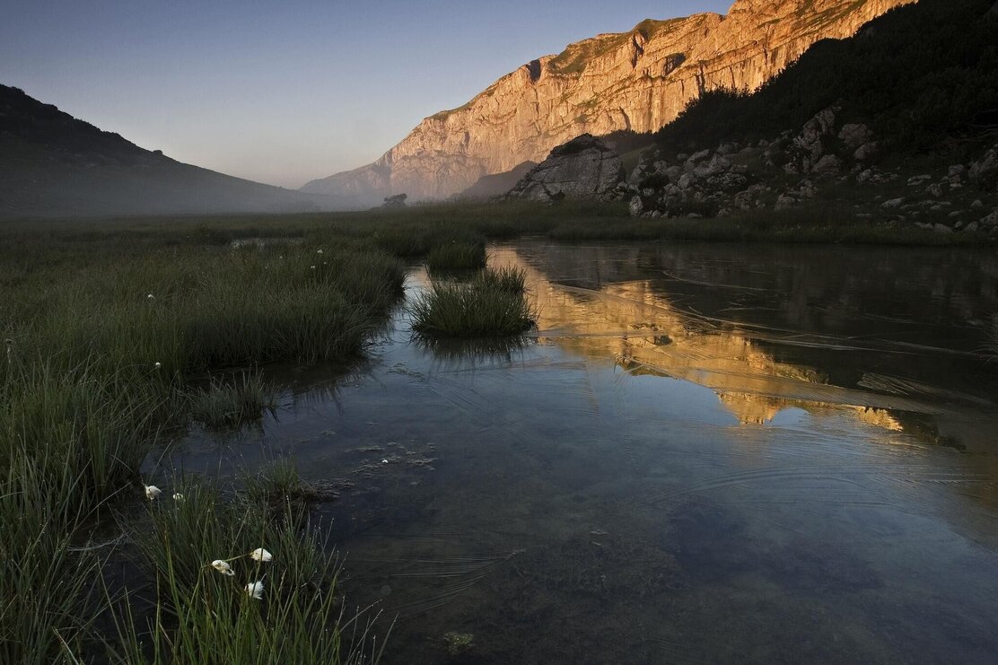
Bike route to the Bayreuther Hut with a 3-peak hike to the Vorderes Sonnwendjoch, Sagzahn, and Rofanspitze. Descent to Marchgatterl and return via the Zireiner Alm and Bergalm. This challenging mountain route is certainly one of the most beautiful circular routes in the Rofan mountains.
Bike:
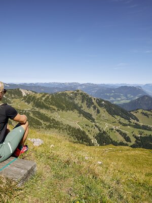
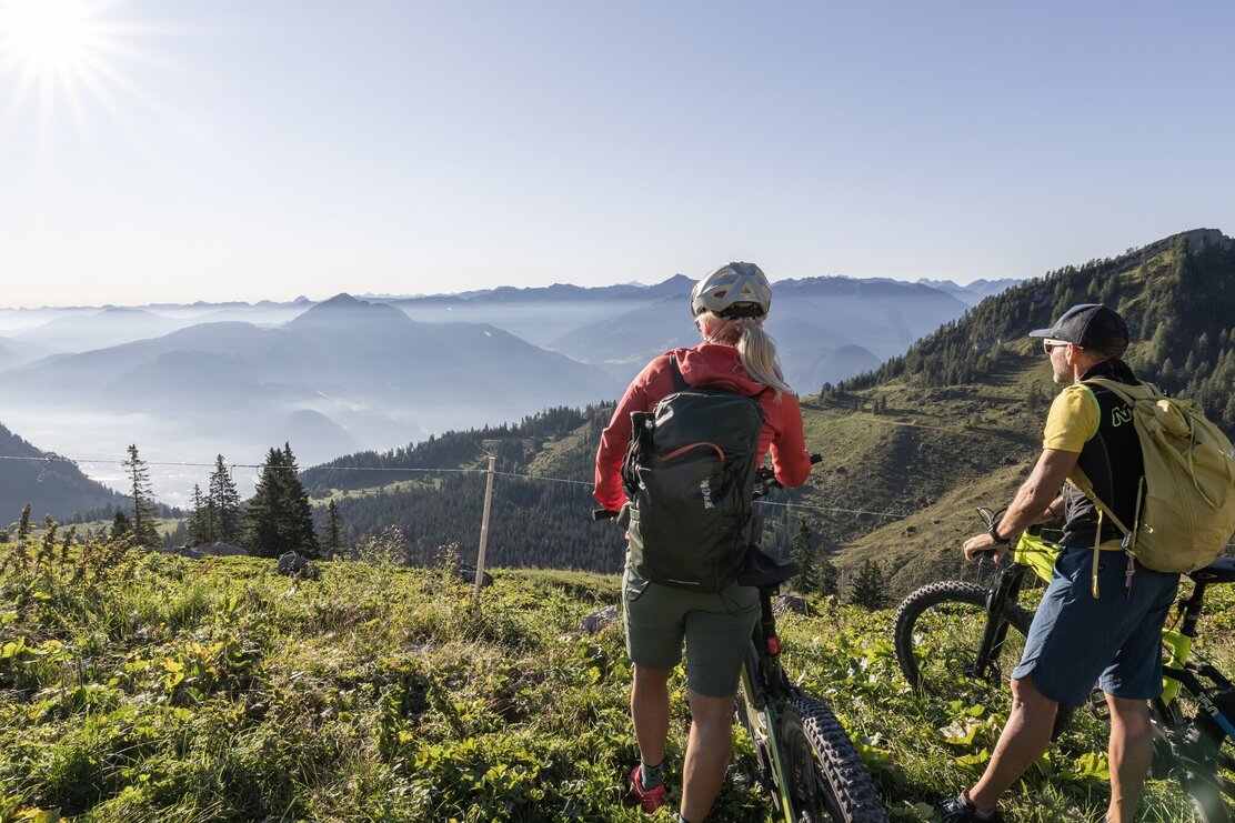
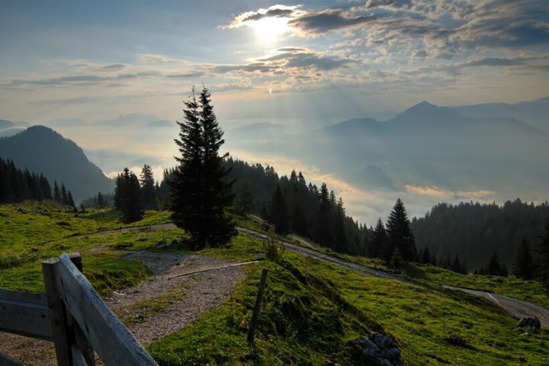
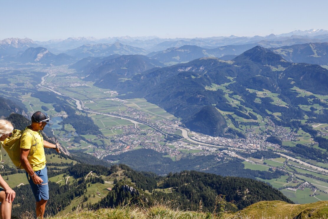
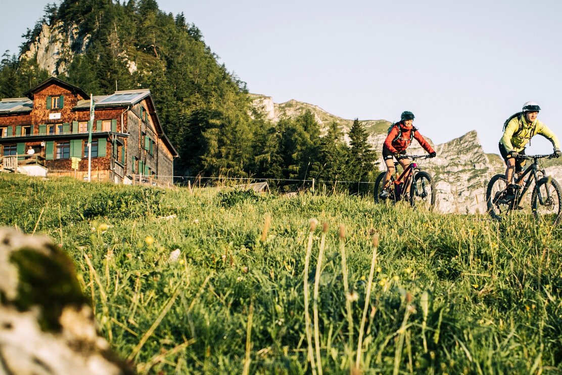
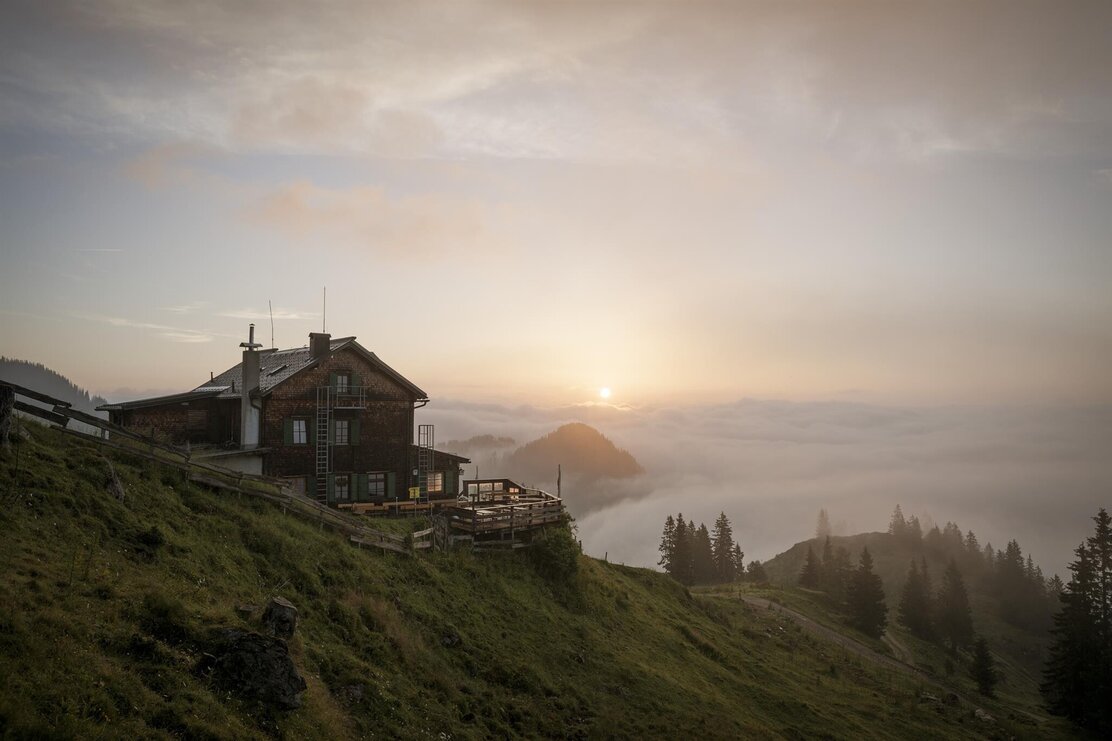
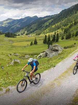
The forest road leads relatively steeply with the bike up to the beautiful alpine terrain on the south side of the Rofan near the Bayreuther Hut. The view above the tree line is magnificent (1600m).
Hike:
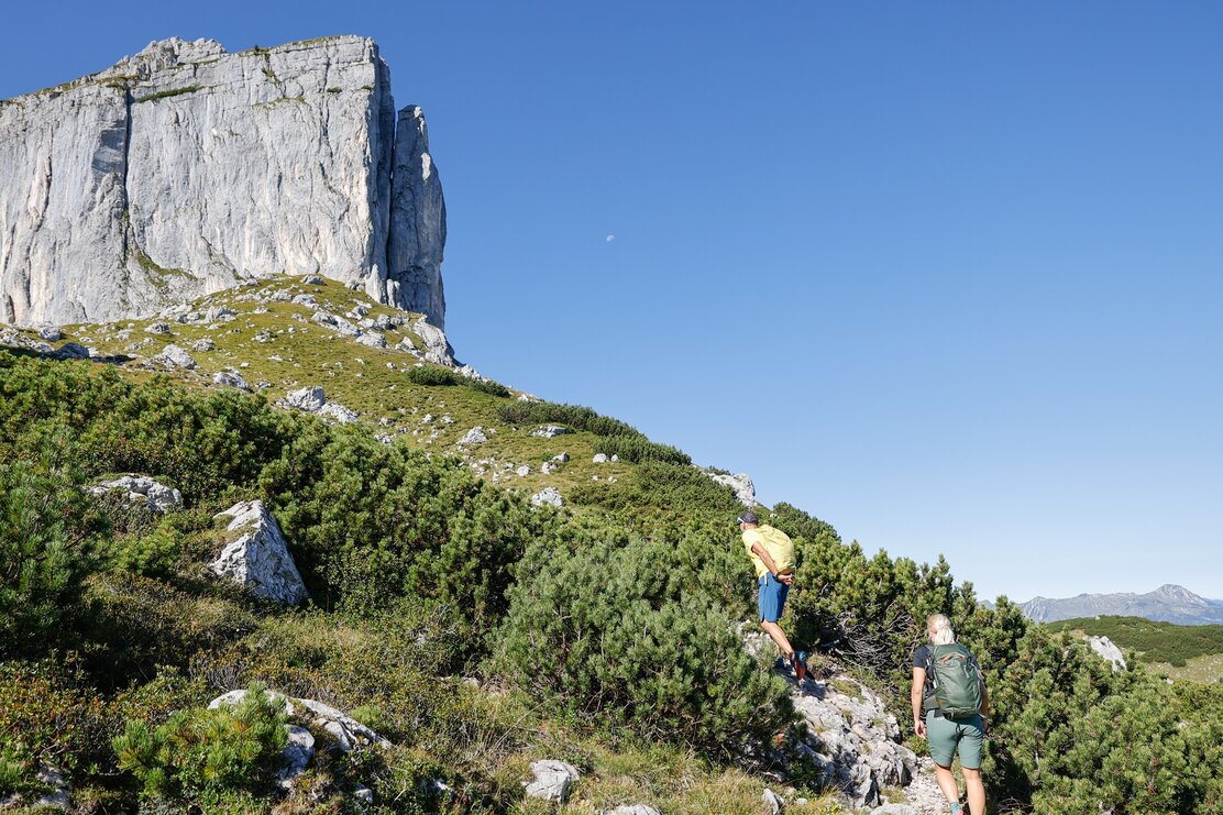
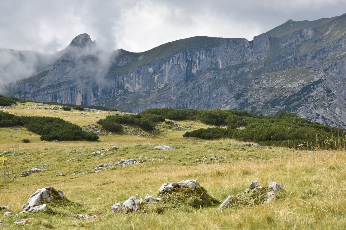
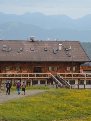
Behind the Bayreuther Hut, follow the sign "Sonnwendjoch / Sagzahn" and hike through the mountain meadows around Berger Kopf and continue to the beautiful summit cross of Vorderes Sonnwendjoch (2224m). Continue to the distinctive summit shape of the Sagzahn (2228m). From the summit, descend directly over an exposed but well-secured path with easy climbing sections through the steep west flank, then ascend slightly before the Schafsteigsattel and continue diagonally up the grassy summit flank to the Rofanspitze (2259m).
The descent leads via Schafsteigsattel and Marchgatterl past the Zireiner Alms (1698m) and Bergalm back to the Bayreuther Hut. Then descend by bike to the starting point.
Details
| Max. Altitude | 2256 |
| Start | Village center Münster |
| End | Village center Münster |
| Public access | From Innsbruck on the A12 Inntalautobahn to the Wiesing/Achensee exit, briefly towards Wiesing and at the roundabout take the first exit to Münster. Through the town and shortly after the northern town limit turn left to the hamlet of Grünsbach. At the Astner guesthouse, continue briefly uphill along the asphalt road, then a few meters on a gravel road through a wooded area to the small hiking parking lot a few meters before a barrier (660 m from the junction at the Astner guesthouse). Coming from Munich/Kufstein on the A12 Inntalautobahn take the Kramsach/Alpbachtal exit, turn right to Kramsach and at the roundabout take the second exit. Continue towards Münster until just before the town entrance. Here turn right to the district of Grünsbach. |
| Public transport | You can plan your arrival here with the Tyrol Transport Association Bicycle transport up to 5 bikes Line 601 - Bus stop: Münster Grünsbach |
| Parking | Forest parking lot above the district of Grünsbach shortly before a barrier on the forest road – 660 m above the junction at the Astner guesthouse in Grünsbach. |
| Equipment | Bike (moderate difficulty) / riding time: 2 h 30 min / route length: 16 km / elevation gain: 940 meters Hike (difficult) walking time: 4 h 30 min / route length: 9 km / elevation gain: 840 meters. You are in high alpine terrain. Surefootedness is required on the way to the peaks. Warning: physically demanding! Bike: Helmet, glasses, bike shorts, sweater, rain jacket, cap, biker backpack, water bottles, map, first aid kit, mobile phone, camera, lock, spare tube, mini tool, pump, patch kit, tape, sunscreen, muesli bars, snack, ... Hike: sturdy shoes and weather-appropriate clothing |
