Walking and hiking tours
Difficulty: medium
Alpine plateau Stettauer Alm
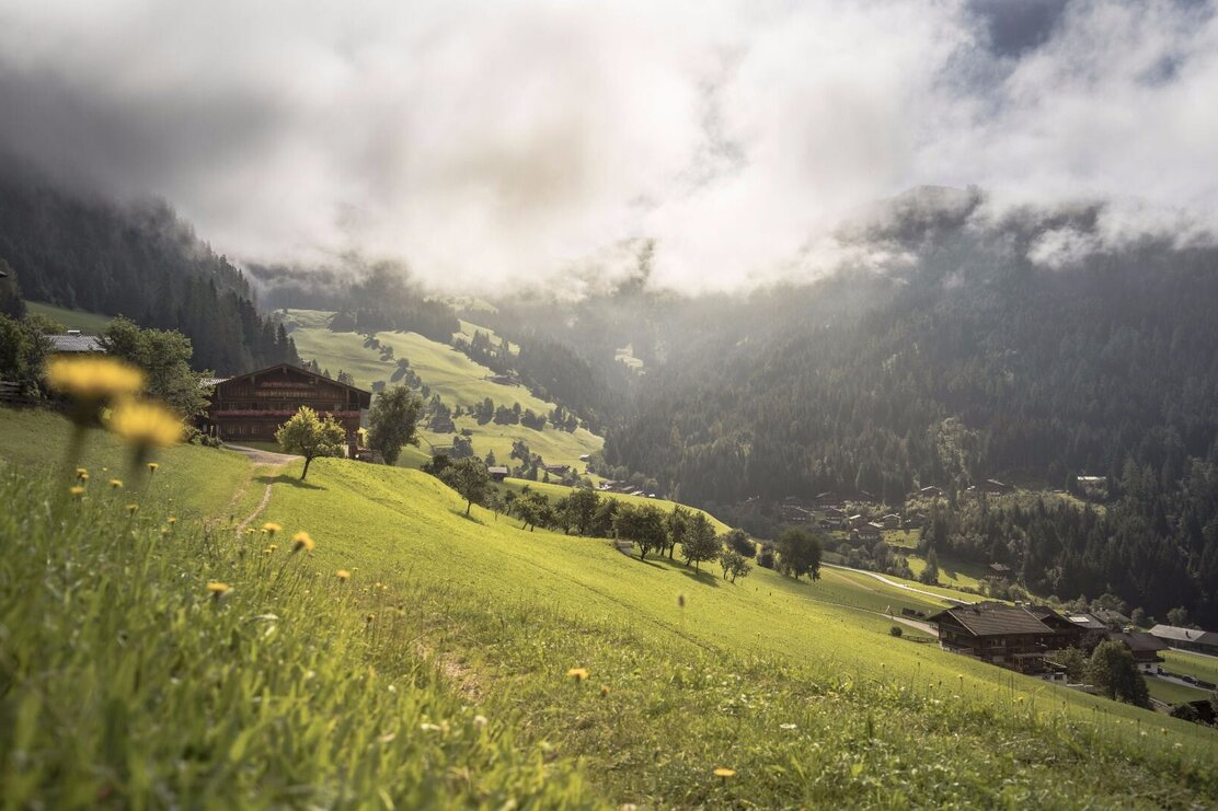
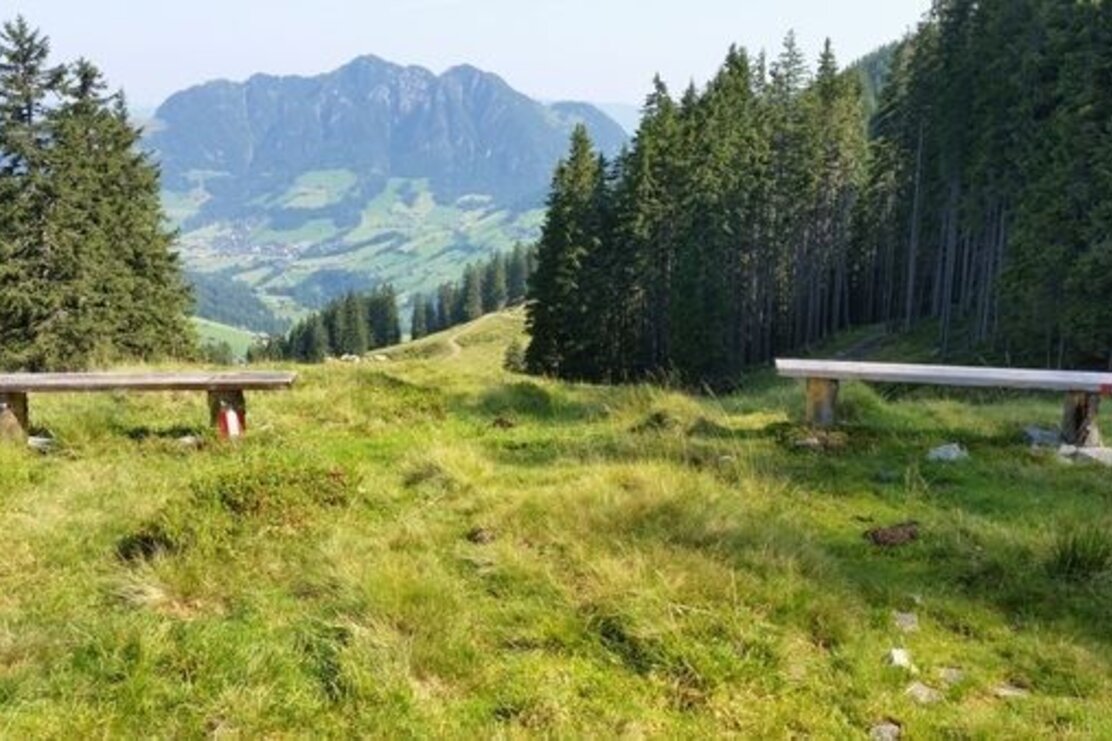
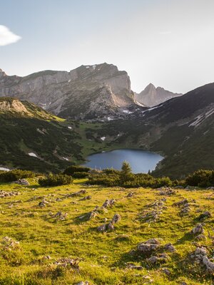
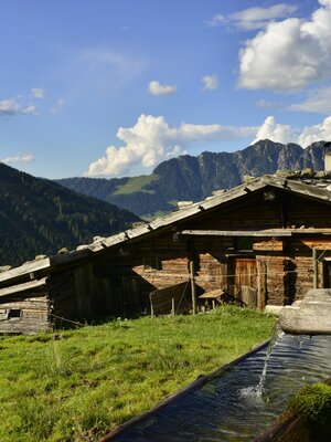
Hike with a shaded ascent and further across the extensive alpine pasture area of the Stettauer Alms
Length
7.84 km
Duration
3:00 h
Altitude
666 hm
666 hm
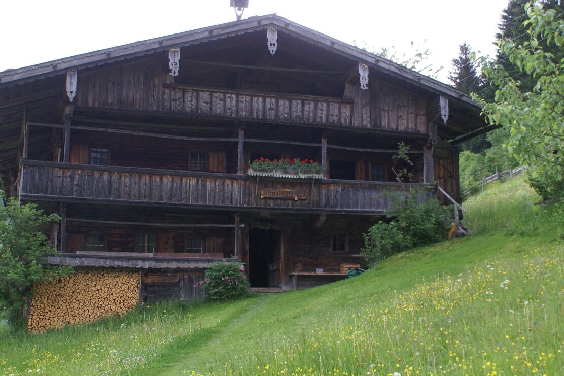
From Innerlapbach towards Zirmalm and the mountain farming museum; behind the museum follow the signs to "Galtenberg", uphill to the "Alplkreuz" (forest crossing). Now downhill to the Stettauer Alm/high pasture, continue to the lower pasture and then downhill via the hunting trail back to the starting point.
Round trip
Family friendly
Start in the valley
Details
| Max. Altitude | 1682 |
| Start | Alpbach/Inneralpbach |
| End | Alpbach/Inneralpbach |
| Public access | A12, Kramsach/Brixlegg motorway exit, Alpbachtal, Inneralpbach |
| Public transport | Line 620 Free bus rides with the "Alpbachtal Card" guest card |
| Parking | Inneralpbach parking lot |
| Equipment | Hiking boots, provisions, and weather clothing |

Tips for you
Good to know
There's more!
