3-summit route Kienberg-Plessenberg-Heuberg
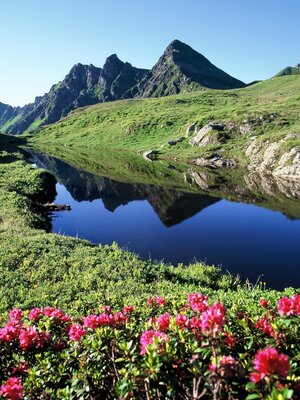
Varied hike in the Brandenberg Alps with many summit experiences amid untouched nature.
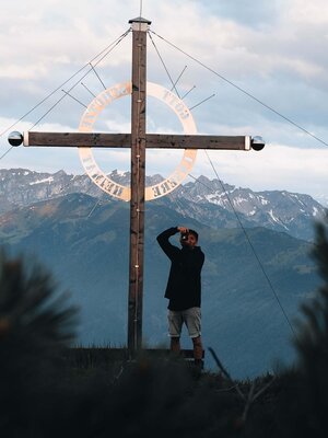
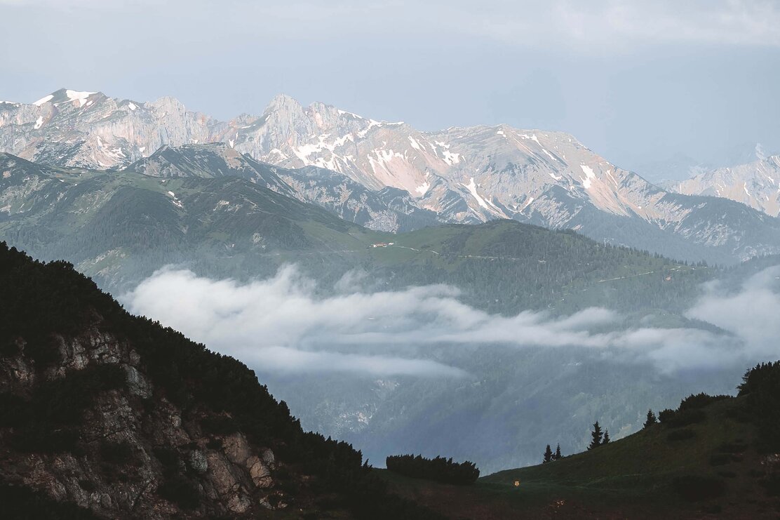
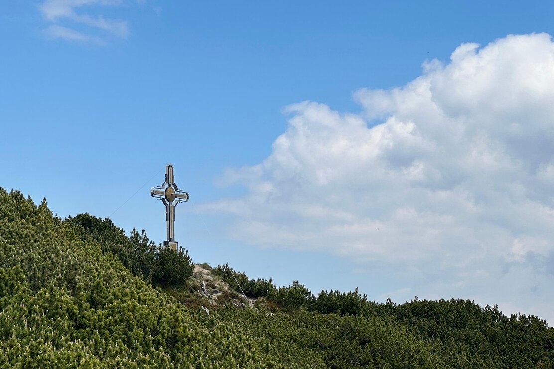
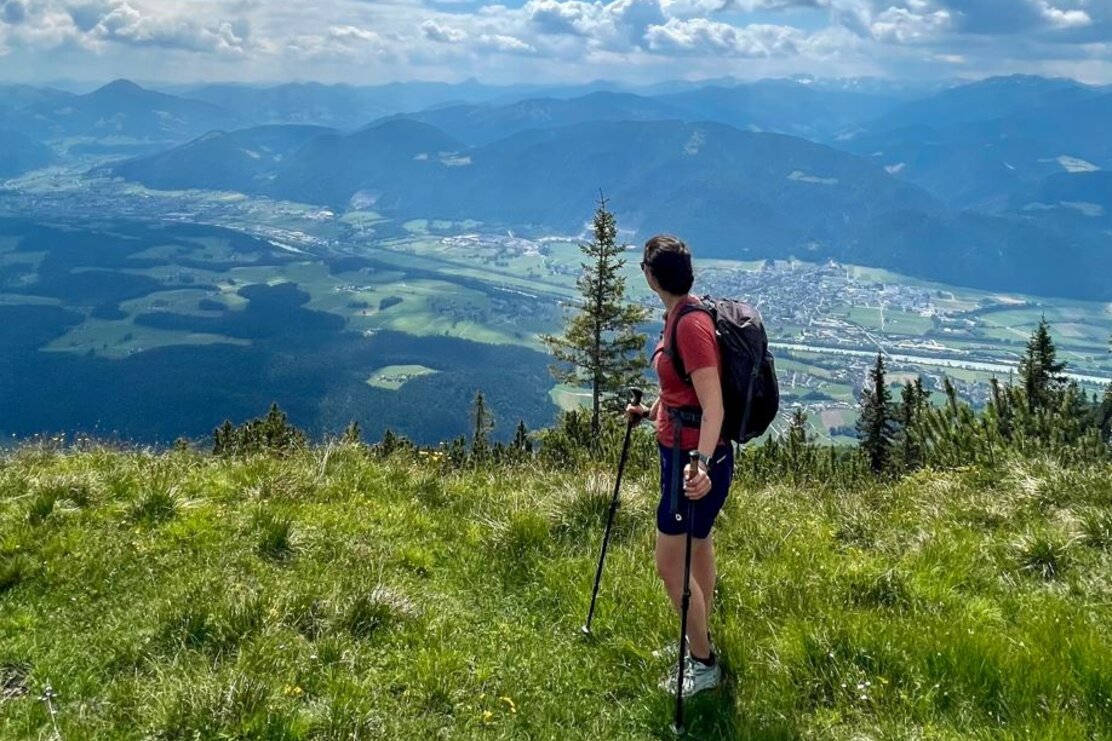
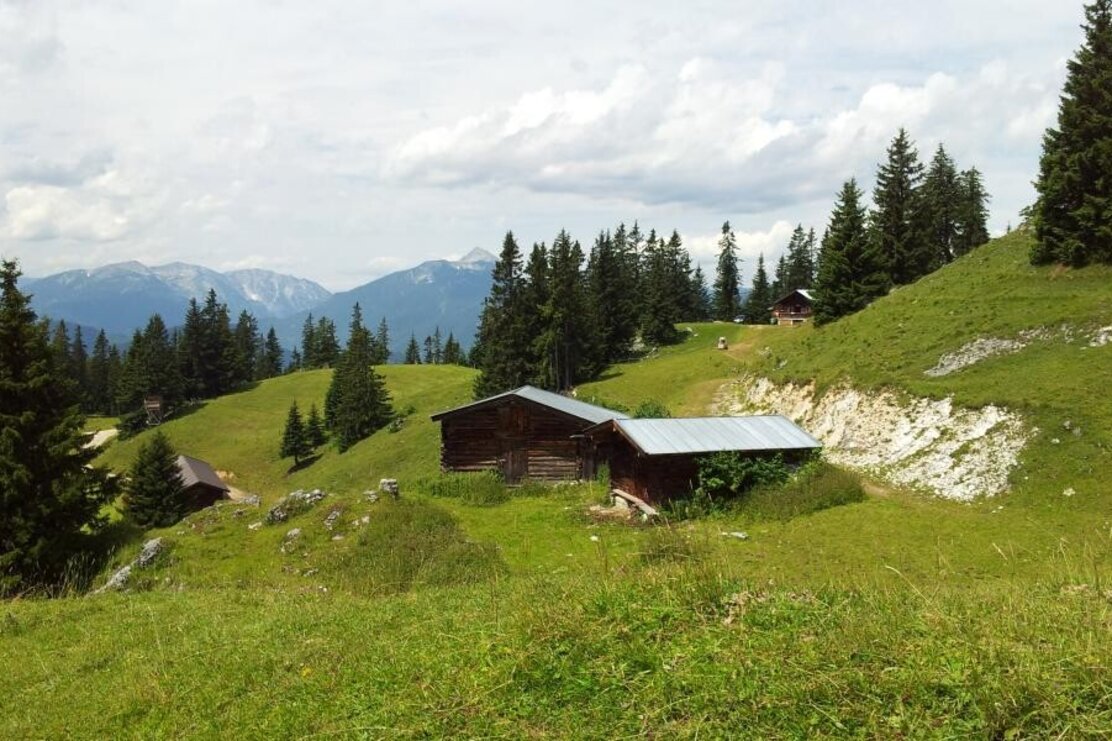
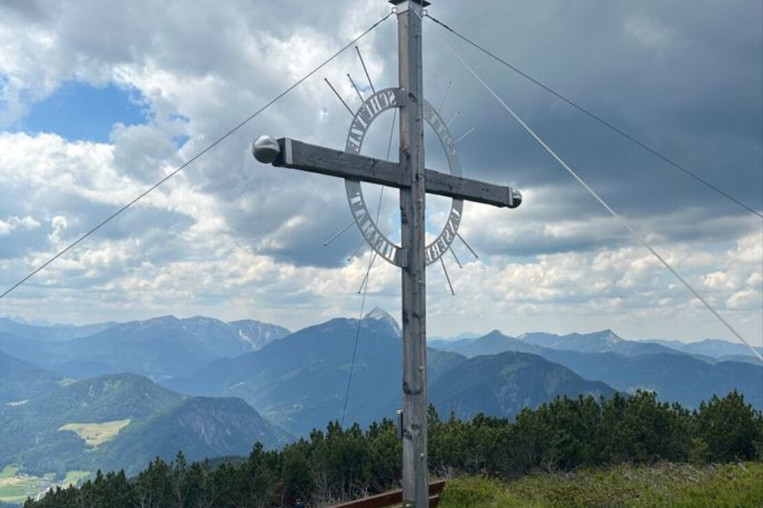
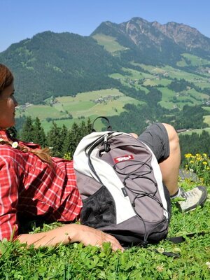
If you are looking for an adventure in the mountains, then this route is perfect for you! The starting point is the Pumphaus parking lot! From here you go to the Jocheralm, a picturesque place ideal for a first break after about 45 minutes of walking. Then continue on a path towards Kienberg. The ascent to the summit is quite manageable and rewards you after about 50 minutes with a breathtaking view from the summit cross of Kienberg. From there, you can admire the Rofan and Karwendel mountain ranges, the Guffert, as well as the Kitzbühel and Zillertal Alps.
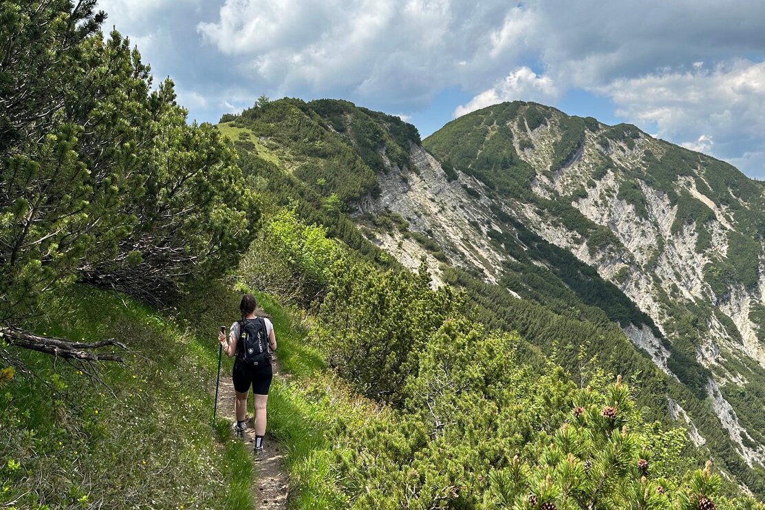
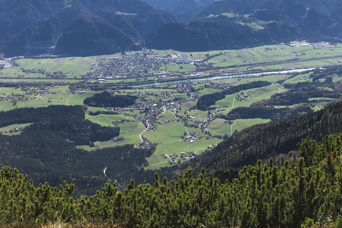
The descent is via the same path to the first fork below the summit. There you turn left and follow the ridge path towards Plessenberg, which involves only little elevation change. From the summit cross of Plessenberg, you also have a fantastic view into the Inn valley as well as the mountains of the Kitzbühel and Zillertal Alps, up to the High Tauern with Großglockner and Großvenediger.
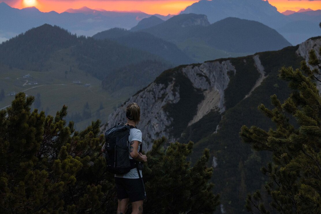
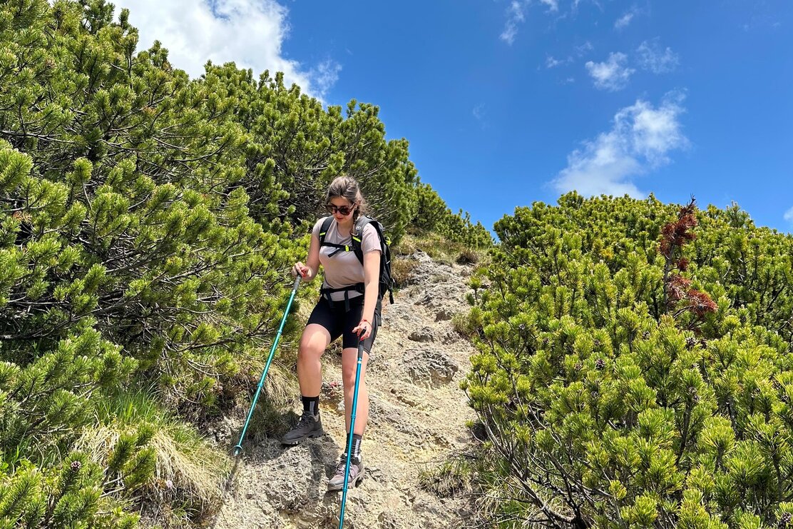
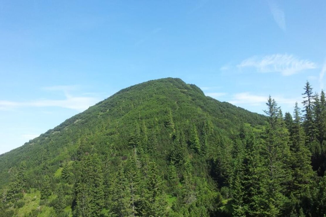
You return along the same way to just below the summit, then at the saddle go briefly uphill (be sure-footed here!) towards Heuberg. From here you hike straight along the ridge downhill to the Jocheralm. For the return, you can either take the same path or walk comfortably along the forest road back to the starting point.
This route offers not only spectacular views but also a good mix of challenge and relaxation.
Refreshment possibility:
There is no refreshment possibility during the entire route. So bring enough water to drink and a snack for strength! In the valley in Brandenberg, you can enjoy a meal at Hotel Neuwirt or Gasthof Ascherwirt and reflect on the day.
Details
| Max. Altitude | 1785 |
| Start | Brandenberg/Winkel Pumphaus parking lot |
| End | Brandenberg/Winkel Pumphaus parking lot |
| Public access | A12, Kramsach motorway exit, direction Kramsach, direction lakes, after the bridge turn right uphill towards Brandenberg. Go straight through the village and the district Winkel. Drive uphill at the former Gasthof Kink to the Pumphaus / Joch parking lot. |
| Public transport | no public transport possible |
| Parking | Pumphaus/Joch parking lot in Brandenberg district Winkel |
| Equipment | Sure-footedness and a head for heights are required especially on the path from Plessenberg to Heuberg! Otherwise, it is best to bypass Heuberg by hiking the known path first to the Kienberg junction, but then not downhill on the meadow, rather left to the ridge and from there to Jocheralm. Good footwear and sure-footedness required! |
